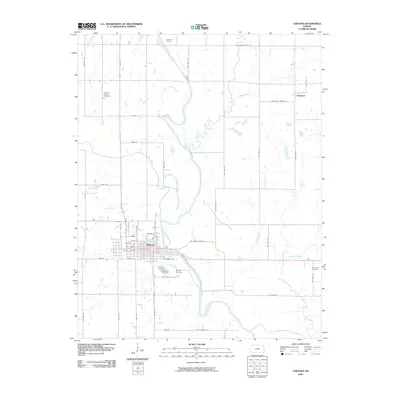
2009 Map of Chetopa
USGS Topo · Published 2009About this map
The Neosho River meanders south through the eastern half of this Labette County quadrangle, defining the landscape around the city of Chetopa. The grid-iron street pattern of the town is bisected by US Hwy 59 and Cherry St, with residential blocks stretching toward the riverbank. Local history is anchored by several burial grounds, including Saint Rose Cemetery and Oak Hill Cemetery just south of the main settlement. Further north, the Overman Bridge spans the Neosho, while the smaller community of Faulkner sits in the northeast corner near Center Creek. The map details a transition from the structured town center to an expansive network of rural roads such as Wallace Rd and SW Boston Mills Rd, serving the agricultural land fed by tributaries like Labette Creek and Fly Creek.
Find a feature on this map
54 named features on this map. Tap any name to fly to it.
Don’t see what you’re looking for? This feature index may not catch every label — zoom into the map to look around manually.
Map Details
Editions of this 2009 Chetopa Map
This is the sole edition of this map. No revisions or reprints were ever made.
Other maps of this area

1886 · Joplin
USGS Topo · 1:125,000

1886 · Parsons
USGS Topo · 1:125,000

1893 · Parsons
USGS Topo · 1:125,000

1894 · Joplin
USGS Topo · 1:125,000

1901 · Vinita
USGS Topo · 1:125,000

1907 · Wyandotte
USGS Topo · 1:125,000

1909 · Wyandotte
USGS Topo · 1:125,000

1913 · Vinita
USGS Topo · 1:125,000

1918 · Columbus
USGS Topo · 1:62,500

1944 · Oswego
USGS Topo · 1:62,500