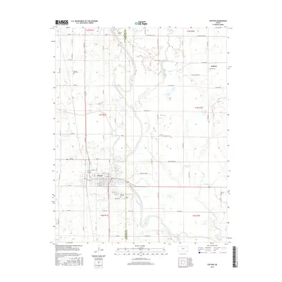
2016 Map of Chetopa
USGS Topo · Published 2016About this map
The Neosho River and Labette Creek converge near the town of Chetopa, defining a landscape where river bends and small tributaries dictate the local road grid and field patterns. This 2016 survey captures the area at the border of Labette and Cherokee Counties, showing the intricate network of section-line roads like Xavier Rd and SW Boston Mills Rd. The presence of several distinct burial grounds, including Oak Hill Cem, Saint Rose Cem, and Pleasant Valley Cem, serves as a primary resource for genealogists tracing local families.
Find a feature on this map
75 named features on this map. Tap any name to fly to it.
Don’t see what you’re looking for? This feature index may not catch every label — zoom into the map to look around manually.
Map Details
Editions of this 2016 Chetopa Map
This is the sole edition of this map. No revisions or reprints were ever made.
Other maps of this area

1886 · Joplin
USGS Topo · 1:125,000

1886 · Parsons
USGS Topo · 1:125,000

1893 · Parsons
USGS Topo · 1:125,000

1894 · Joplin
USGS Topo · 1:125,000

1901 · Vinita
USGS Topo · 1:125,000

1907 · Wyandotte
USGS Topo · 1:125,000

1909 · Wyandotte
USGS Topo · 1:125,000

1913 · Vinita
USGS Topo · 1:125,000

1918 · Columbus
USGS Topo · 1:62,500

1944 · Oswego
USGS Topo · 1:62,500