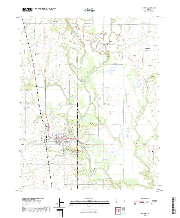
2022 Map of Chetopa
USGS Topo · Published 2022About this map
Chetopa serves as the regional anchor on this Kansas landscape, situated where the Neosho River meets the confluence of Labette Creek and Town Cr. The town's grid is densely labeled with historic street names including Pecan St, Walnut St, and Delaware St, and is bisected by the Missouri Pacific RR. This rail corridor and the surrounding road network, such as Fishing Trl and SW Boston Mills Rd, illustrate the enduring intersection of transportation and the river economy in Labette and Cherokee Counties.
Find a feature on this map
53 named features on this map. Tap any name to fly to it.
Don’t see what you’re looking for? This feature index may not catch every label — zoom into the map to look around manually.
Map Details
Editions of this 2022 Chetopa Map
This is the sole edition of this map. No revisions or reprints were ever made.
Other maps of this area

1886 · Joplin
USGS Topo · 1:125,000

1886 · Parsons
USGS Topo · 1:125,000

1893 · Parsons
USGS Topo · 1:125,000

1894 · Joplin
USGS Topo · 1:125,000

1901 · Vinita
USGS Topo · 1:125,000

1907 · Wyandotte
USGS Topo · 1:125,000

1909 · Wyandotte
USGS Topo · 1:125,000

1913 · Vinita
USGS Topo · 1:125,000

1918 · Columbus
USGS Topo · 1:62,500

1944 · Oswego
USGS Topo · 1:62,500