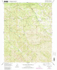
1956 Map of Chews Ridge
USGS Topo · Published 1984About this map
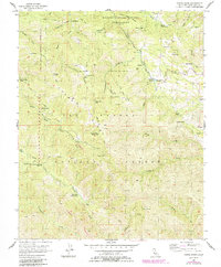
Hastings Natural History Reservation and the Ventana Wilderness Area dominate this section of Monterey County, where high ridges and steep canyons define the landscape. This 1950s data, updated in the early 1980s, reveals a network of remote outposts and family-named landmarks including Cahoon Ranch, Bruce Ranch, and the Mascorini Place. The Chews Ridge Ranger Sta and a nearby Lookout overlook the headwaters of the Carmel River, illustrating the vital role of fire observation and watershed management in this part of the Los Padres National Forest. Local-history interest is found in specific sites like Nason Cabin and the curious label for The Caves (Swimming Pool) along Church Creek. The terrain is traversed by rugged paths such as the Tassajara Trail and the Jamesburg Finch Road, reflecting a time when this backcountry was accessed by a mix of early roads and established pack trails.
Find a feature on this map
61 named features on this map. Tap any name to fly to it.
Don’t see what you’re looking for? This feature index may not catch every label — zoom into the map to look around manually.
Map Details
Editions of this 1956 Chews Ridge Map
5 editions found
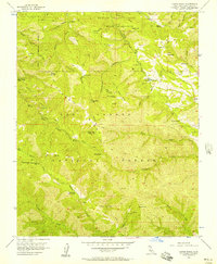
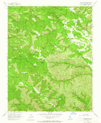
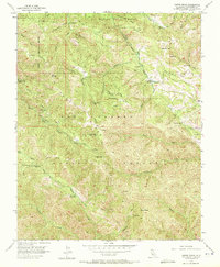
Other maps of this area

1910 · Soledad
USGS Topo · 1:31,680

1915 · Soledad
USGS Topo · 1:62,500

1919 · Junipero Serra
USGS Topo · 1:62,500

1920 · Jamesburg
USGS Topo · 1:48,000

1921 · Jamesburg
USGS Topo · 1:62,500

1921 · Lucia
USGS Topo · 1:62,500

1939 · Jamesburg
USGS Topo · 1:62,500

1940 · Jamesburg
USGS Topo · 1:62,500

1940 · Soledad
USGS Topo · 1:62,500

1941 · Lucia
USGS Topo · 1:62,500