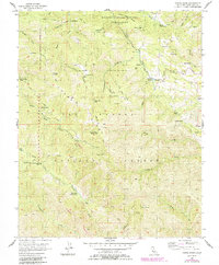
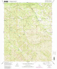
1956 Map of Chews Ridge
USGS Topo · Published 1984About this map
Hastings Natural History Reservation and the high peaks of the northern Santa Lucia Range dominate this mid-century survey of the California wilderness. The map reveals a remote landscape of steep canyons and ridgelines, where seasonal cattle ranching and early backcountry recreation defined human presence. Several family ranch sites are documented, including Bruce Ranch, Cahoon Ranch, and Koester Ranch, alongside specialized landmarks like The Caves Swimming Pool and China Camp. The area's transition into a protected corridor is evident through the inclusion of the Ventana Wilderness Area and the Los Padres National Forest. From the fire lookout atop Chews Ridge to the secluded Nason Cabin, the sheet provides a meticulous record of the trails and outposts that supported local forestry and research before the late 20th-century expansion of Monterey County's inland regions.
Find a feature on this map
88 named features on this map. Tap any name to fly to it.
Don’t see what you’re looking for? This feature index may not catch every label — zoom into the map to look around manually.
Map Details
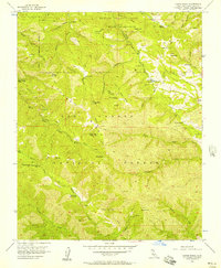
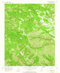
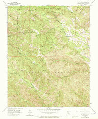
Editions of this 1956 Chews Ridge Map
5 editions found
Other maps of this area

1910 · Soledad
USGS Topo · 1:31,680

1915 · Soledad
USGS Topo · 1:62,500

1919 · Junipero Serra
USGS Topo · 1:62,500

1920 · Jamesburg
USGS Topo · 1:48,000

1921 · Jamesburg
USGS Topo · 1:62,500

1921 · Lucia
USGS Topo · 1:62,500

1939 · Jamesburg
USGS Topo · 1:62,500

1940 · Jamesburg
USGS Topo · 1:62,500

1940 · Soledad
USGS Topo · 1:62,500

1941 · Lucia
USGS Topo · 1:62,500