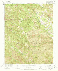
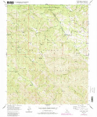
1956 Map of Chews Ridge
USGS Topo · Published 1972About this map
Chews Ridge Ranger Sta serves as a central landmark within this portion of the Los Padres National Forest, where the complex drainage systems of the Carmel River and Arroyo Seco meet. The 1956 landscape is defined by isolated outposts and seasonal camps, including White Oaks Camp, China Camp, and Divide Camp. Significant early habitation is evident through various ranch holdings and private structures like the Bell Ranch, Cahoon Ranch, and the isolated Nason Cabin.
Find a feature on this map
53 named features on this map. Tap any name to fly to it.
Don’t see what you’re looking for? This feature index may not catch every label — zoom into the map to look around manually.
Map Details
Editions of this 1956 Chews Ridge Map
5 editions found
Other maps of this area

1910 · Soledad
USGS Topo · 1:31,680

1915 · Soledad
USGS Topo · 1:62,500

1919 · Junipero Serra
USGS Topo · 1:62,500

1920 · Jamesburg
USGS Topo · 1:48,000

1921 · Jamesburg
USGS Topo · 1:62,500

1921 · Lucia
USGS Topo · 1:62,500

1939 · Jamesburg
USGS Topo · 1:62,500

1940 · Jamesburg
USGS Topo · 1:62,500

1940 · Soledad
USGS Topo · 1:62,500

1941 · Lucia
USGS Topo · 1:62,500