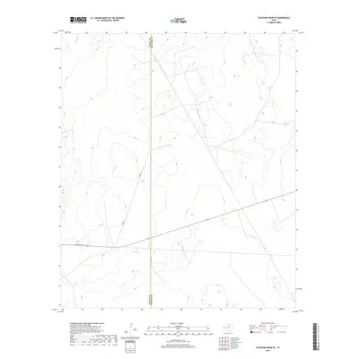
2019 Map of Cheyenne Draw SE
USGS Topo · Published 2019About this map
The arid high desert of West Texas defines this 2019 survey, where the administrative boundary between Loving Co and Winkler Co cuts a straight line through an undulating landscape. This particular corner of the Permian Basin is characterized by its sparse infrastructure, primarily supporting the region's ranching and energy interests. Connectivity is provided by Ranch Rd 1211, which traverses the southern portion of the quadrangle, and segments of Ranch Rd that navigate the low-lying topography. The contour intervals reveal the subtle draws and rises of the Chihuahuan Desert, where the lack of permanent settlements emphasizes the vastness and the industrial and agricultural utility of the land in the early twenty-first century.
Find a feature on this map
3 named features on this map. Tap any name to fly to it.
Don’t see what you’re looking for? This feature index may not catch every label — zoom into the map to look around manually.
Map Details
Editions of this 2019 Cheyenne Draw SE Map
This is the sole edition of this map. No revisions or reprints were ever made.
Other maps of this area

1954 · Pecos
USGS Topo · 1:250,000

1957 · Pecos
USGS Topo · 1:250,000

1967 · Soda Lake NW
USGS Topo · 1:24,000

1968 · Wink South
USGS Topo · 1:24,000

1968 · Soda Lake NE
USGS Topo · 1:24,000

1969 · Cheyenne Draw SW
USGS Topo · 1:24,000

1970 · Brunson Ranch
USGS Topo · 1:24,000

1970 · Cheyenne Draw
USGS Topo · 1:24,000

1970 · Wink North
USGS Topo · 1:24,000

1970 · Cheyenne Draw SE
USGS Topo · 1:24,000