
1954 Map of Cheyenne
USGS Topo · Published 1963About this map
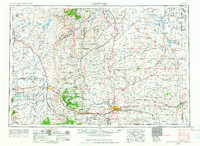
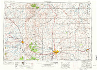
The city of Cheyenne and the high plains of the Laramie Basin dominate this mid-century portrait of southeastern Wyoming. At the state's political heart, the State Capitol stands near the extensive grounds of Francis E. Warren Air Force Base, while the Union Pacific railroad corridor links the capital to Laramie and the University of Wyoming Agricultural Experiment Station. The map illustrates a landscape of transition where the industrial presence of Limestone quarries and remote stations like Tie Siding and Harriman meet the protected wilderness of the Medicine Bow National Forest and Bamforth National Wildlife Refuge. Regional hydrology is meticulously charted through the Laramie River system and high-altitude water bodies such as Lake Hattie Reservoir and Wheatland Reservoir No 2. From the steep slopes of Sheep Mountain to the remote Ames Monument, the survey documents a region balancing its role as a transportation hub with the expansive ranching and conservation lands of the Wyoming-Colorado borderlands.
Find a feature on this map
136 named features on this map. Tap any name to fly to it.
Don’t see what you’re looking for? This feature index may not catch every label — zoom into the map to look around manually.
Map Details
Editions of this 1954 Cheyenne Map
3 editions found
Other maps of this area

1895 · Laramie
USGS Topo · 1:125,000

1896 · Patrick
USGS Topo · 1:125,000

1896 · Hartville
USGS Topo · 1:125,000

1898 · Scotts Bluff
USGS Topo · 1:125,000

1899 · Goshen Hole
USGS Topo · 1:125,000

1899 · Whistle Creek
USGS Topo · 1:125,000

1901 · Hartville
USGS Topo · 1:125,000

1902 · Laramie
USGS Topo · 1:125,000

1905 · Sherman
USGS Topo · 1:125,000

1905 · Laramie
USGS Topo · 1:125,000