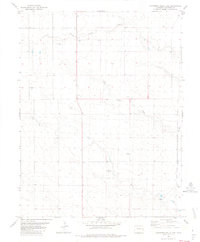
1982 Map of Cheyenne Wells 3 NE
USGS Topo · Published 1982About this map
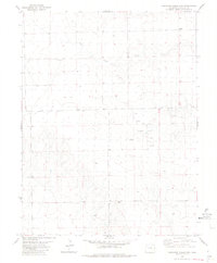
South Ladder Creek and White Woman Creek carve a series of intermittent drainages across this high plains landscape in eastern Colorado. The 1982 data shows a sparse, agricultural environment defined by its water management and infrastructure, where small markers like Hoe, Tank, and various Well sites denote the critical nature of resources in this arid region. The small settlement of Lanterman appears alongside several clusters of Storage Bins, indicating the area's role in local grain or agricultural storage. Economic activity is further evidenced by a Gravel Pit in the southeastern portion of the quadrangle. This map provides a detailed record of land use and property boundaries, marked by the section lines of R 44 W and R 43 W, during a period of established ranching and farming operations in Cheyenne County.
Find a feature on this map
9 named features on this map. Tap any name to fly to it.
Don’t see what you’re looking for? This feature index may not catch every label — zoom into the map to look around manually.
Map Details
Editions of this 1982 Cheyenne Wells 3 NE Map
2 editions found
Other maps of this area

1892 · Cheyenne Wells
USGS Topo · 1:125,000

1894 · Cheyenne Wells
USGS Topo · 1:125,000

1954 · Lamar
USGS Topo · 1:250,000

1958 · Lamar
USGS Topo · 1:250,000

1981 · Cheyenne Wells
USGS Topo · 1:100,000

1982 · Cheyenne Wells SW
USGS Topo · 1:24,000
1982 · Cheyenne Wells
USGS Topo · 1:24,000
1982 · Cheyenne Wells 3 SW
USGS Topo · 1:24,000
1982 · Cheyenne Wells 3 NW
USGS Topo · 1:24,000
1982 · Lake Albert
USGS Topo · 1:24,000