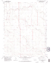
1982 Map of South of Cheyenne Wells
USGS Topo · Published 1995About this map
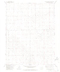
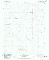
South Ladder Creek and White Woman Creek wind across this high plains landscape in eastern Colorado, marking the subtle drainage patterns of Cheyenne County. The terrain is defined by wide open rangeland and occasional industrial markers, including multiple locations of Storage Bins and a Tank used for local agricultural and ranching operations. The small settlement of Lanterman appears in the central portion of the map, serving as a localized point of interest in this largely open territory. Evidence of resource extraction is visible at the Gravel Pit located near the southern boundary, while various sites labeled Well indicate the critical importance of water management in this arid region during the early 1980s. This survey, compiled from 1975 aerial photography, provides a detailed view of the section lines and rural infrastructure that shaped the area's development.
Find a feature on this map
9 named features on this map. Tap any name to fly to it.
Don’t see what you’re looking for? This feature index may not catch every label — zoom into the map to look around manually.
Map Details
Editions of this 1982 South of Cheyenne Wells Map
2 editions found
Other maps of this area

1892 · Cheyenne Wells
USGS Topo · 1:125,000

1894 · Cheyenne Wells
USGS Topo · 1:125,000

1954 · Lamar
USGS Topo · 1:250,000

1958 · Lamar
USGS Topo · 1:250,000

1981 · Cheyenne Wells
USGS Topo · 1:100,000

1982 · Cheyenne Wells SW
USGS Topo · 1:24,000
1982 · Cheyenne Wells
USGS Topo · 1:24,000
1982 · Cheyenne Wells 3 SW
USGS Topo · 1:24,000
1982 · Cheyenne Wells 3 NW
USGS Topo · 1:24,000
1982 · Lake Albert
USGS Topo · 1:24,000