
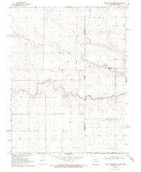
1969 Map of Cheyenne Wells 4 NE
USGS Topo · Published 1971About this map
South Ladder Creek meanders through the central portion of this High Plains borderland, cutting a distinct valley through the plateau. This 1969 survey, field-checked by the Geological Survey and state agencies, documents the precise boundary line between Colorado and Kansas, where Cheyenne, Wallace, and Greeley counties meet. The landscape is defined by its agricultural and resource-based utility, with a high concentration of water wells and several well sites dotting the township sections.
Find a feature on this map
10 named features on this map. Tap any name to fly to it.
Don’t see what you’re looking for? This feature index may not catch every label — zoom into the map to look around manually.
Map Details
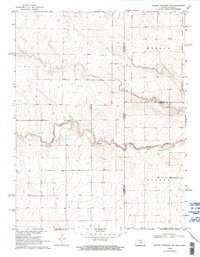
Editions of this 1969 Cheyenne Wells 4 NE Map
3 editions found
Other maps of this area

1892 · Cheyenne Wells
USGS Topo · 1:125,000

1894 · Cheyenne Wells
USGS Topo · 1:125,000

1954 · Lamar
USGS Topo · 1:250,000

1955 · Scott City
USGS Topo · 1:250,000

1958 · Lamar
USGS Topo · 1:250,000

1958 · Scott City
USGS Topo · 1:250,000

1959 · Weskan
USGS Topo · 1:62,500

1968 · Sharon Springs 3 NW
USGS Topo · 1:24,000

1969 · Arapahoe SE
USGS Topo · 1:24,000
1969 · Cheyenne Wells 4 SE
USGS Topo · 1:24,000