
1982 Map of Cheyenne Wells SW
USGS Topo · Published 1982About this map
The Union Pacific railroad cuts a horizontal line across this High Plains landscape, following the gentle topography near Ascalon. This portion of Cheyenne County is defined by the drainage patterns of Willow Creek in the north and Ladder Creek in the south, both of which reveal a sparse but industrious rural layout. The southeastern corner of the map is dominated by the Ladder Creek Oil Field, where numerous Oil Wells and associated infrastructure point to the region's energy production in the late 20th century. Scattered Storage Bins and various water Wells highlight the agricultural foundations of the area, while a Gravel Pit and a Tank suggest localized extraction and storage needs. The terrain is relatively uniform, punctuated primarily by the essential networks of transportation and natural resources.
Find a feature on this map
11 named features on this map. Tap any name to fly to it.
Don’t see what you’re looking for? This feature index may not catch every label — zoom into the map to look around manually.
Map Details
Editions of this 1982 Cheyenne Wells SW Map
This is the sole edition of this map. No revisions or reprints were ever made.
Other maps of this area

1891 · Kit Carson
USGS Topo · 1:125,000

1892 · Cheyenne Wells
USGS Topo · 1:125,000

1893 · Kit Carson
USGS Topo · 1:125,000

1894 · Cheyenne Wells
USGS Topo · 1:125,000

1954 · Lamar
USGS Topo · 1:250,000

1958 · Lamar
USGS Topo · 1:250,000

1981 · Cheyenne Wells
USGS Topo · 1:100,000
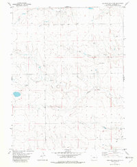
1982 · Cheyenne Wells NW
USGS Topo · 1:24,000

1982 · Kit Carson 4 NE
USGS Topo · 1:24,000
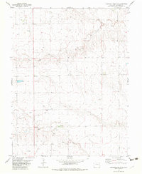
1982 · Cheyenne Wells NE
USGS Topo · 1:24,000