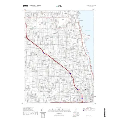
2021 Map of Chicago Loop
USGS Topo · Published 2021About this map
Chicago's densest urban corridors and lakefront geography are detailed in this contemporary survey, centering on the city's North Side and downtown Loop. The intricate network of the North Branch Chicago River and the North Shore Channel winds through neighborhoods like Sauganash and Lincolnwood, illustrating the historic industrial and residential use of the waterways. Along the Lake Michigan shoreline, a series of public spaces and harbors including Montrose Harbor and Belmont Harbor define the city's edge. This map is particularly significant for genealogists and local historians, as it marks numerous major burial grounds such as Rosehill Cem, Graceland Cem, and the Bohemian National Cem of Chicago. Landmarks such as the Getty Tomb and Couch Mausoleum are noted alongside infrastructure like the Cortland Street Bridge, providing a precise look at the modern metropolitan landscape.
Find a feature on this map
60 named features on this map. Tap any name to fly to it.
Don’t see what you’re looking for? This feature index may not catch every label — zoom into the map to look around manually.
Map Details
Editions of this 2021 Chicago Loop Map
This is the sole edition of this map. No revisions or reprints were ever made.
Other maps of this area

1889 · Chicago
USGS Topo · 1:62,500

1891 · Chicago
USGS Topo · 1:62,500

1891 · Riverside
USGS Topo · 1:62,500

1893 · Riverside
USGS Topo · 1:62,500

1899 · Evanston
USGS Topo · 1:62,500

1900 · Chicago
USGS Topo · 1:62,500

1900 · Riverside
USGS Topo · 1:62,500

1900 · Highwood
USGS Topo · 1:62,500

1901 · Riverside
USGS Topo · 1:62,500

1901 · Chicago
USGS Topo · 1:62,500
Featured Places
- Chicago, IL
- Lincolnwood, IL
- Jefferson Township, Chicago
- West Chicago Township, Chicago
- Niles Township, IL