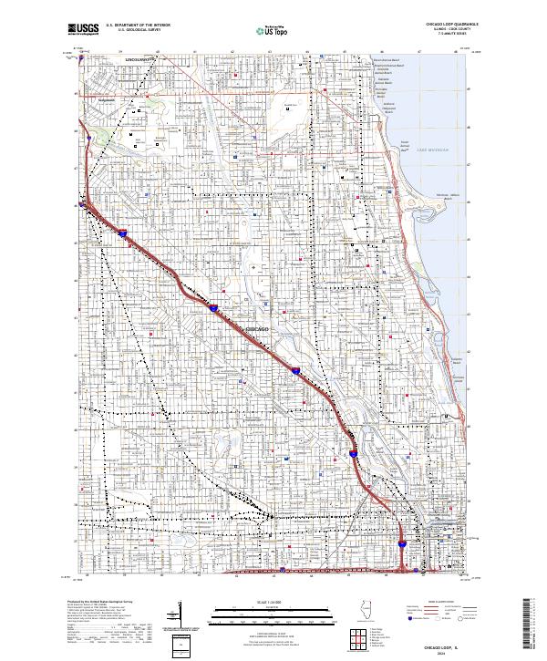
2024 Map of Chicago Loop
USGS Topo · Published 2024About this map
The dense urban grid of Chicago and Lincolnwood meets the shoreline of Lake Michigan, showcasing a landscape defined by industrial waterways and world-renowned institutional architecture. The North Branch Chicago River and the North Shore Channel frame the western and northern corridors, while the lakefront is punctuated by recreational landmarks like Belmont Harbor and Montrose Beach.
Find a feature on this map
141 named features on this map. Tap any name to fly to it.
Don’t see what you’re looking for? This feature index may not catch every label — zoom into the map to look around manually.
Map Details
Editions of this 2024 Chicago Loop Map
This is the sole edition of this map. No revisions or reprints were ever made.
Other maps of this area

1889 · Chicago
USGS Topo · 1:62,500

1891 · Chicago
USGS Topo · 1:62,500

1891 · Riverside
USGS Topo · 1:62,500

1893 · Riverside
USGS Topo · 1:62,500

1899 · Evanston
USGS Topo · 1:62,500

1900 · Chicago
USGS Topo · 1:62,500

1900 · Riverside
USGS Topo · 1:62,500

1900 · Highwood
USGS Topo · 1:62,500

1901 · Riverside
USGS Topo · 1:62,500

1901 · Chicago
USGS Topo · 1:62,500
Featured Places
- Chicago, IL
- Lincolnwood, IL
- West Chicago Township, Chicago
- Jefferson Township, Chicago
- Lake View Township, Chicago