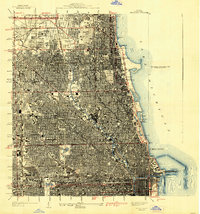
1929 Map of Chicago Loop
USGS Topo · Published 1939About this map
Lake Michigan dominates the eastern edge of this dense urban landscape, where the Chicago River and its North Branch snake through a tightly packed grid of streets. This era of Chicago's development is marked by sprawling greenspaces and significant institutional footprints, from the massive Rose Hill Cemetery and Graceland Cemetery to the extensive grounds of the Municipal Tuberculosis Sanitarium in the northwest. The lakefront features iconic public works like the Municipal Pier and the sheltered Chicago Harbor, protected by an elaborate system of breakwaters.
Find a feature on this map
55 named features on this map. Tap any name to fly to it.
Don’t see what you’re looking for? This feature index may not catch every label — zoom into the map to look around manually.
Map Details
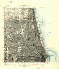
Editions of this 1929 Chicago Loop Map
2 editions found
Other maps of this area

1889 · Chicago
USGS Topo · 1:62,500

1891 · Chicago
USGS Topo · 1:62,500

1891 · Riverside
USGS Topo · 1:62,500

1893 · Riverside
USGS Topo · 1:62,500

1899 · Evanston
USGS Topo · 1:62,500

1900 · Chicago
USGS Topo · 1:62,500

1900 · Riverside
USGS Topo · 1:62,500

1900 · Highwood
USGS Topo · 1:62,500

1901 · Riverside
USGS Topo · 1:62,500

1901 · Chicago
USGS Topo · 1:62,500
Featured Places
- Chicago, IL
- Lincolnwood, IL
- Lake View Township, Chicago
- West Chicago Township, Chicago
- Jefferson Township, Chicago