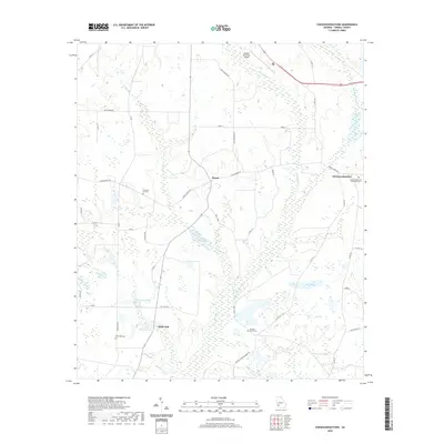
2020 Map of Chickasawhatchee
USGS Topo · Published 2020About this map
The agrarian landscape of Terrell County is defined here by the winding course of Chickasawhatchee Cr and its tributaries, such as Herod Cr and Brantley Cr. The community of Herod serves as a central point in a network of rural routes like Kelly Tpke and Sasser Herod Rd. To the south, Clarks Mill sits near the Clarks Millpond Dam and Laing Lake, reflecting a long history of water-powered industry and land management in this part of Georgia.
Find a feature on this map
44 named features on this map. Tap any name to fly to it.
Don’t see what you’re looking for? This feature index may not catch every label — zoom into the map to look around manually.
Map Details
Editions of this 2020 Chickasawhatchee Map
This is the sole edition of this map. No revisions or reprints were ever made.
Other maps of this area

1953 · Dothan
USGS Topo · 1:250,000

1954 · Dothan
USGS Topo · 1:250,000

1955 · Dothan
USGS Topo · 1:250,000

1956 · Sasser
USGS Topo · 1:62,500

1972 · Shellman
USGS Topo · 1:24,000

1973 · Morgan
USGS Topo · 1:24,000

1973 · Chickasawhatchee
USGS Topo · 1:24,000

1973 · Sasser
USGS Topo · 1:24,000

1973 · Pretoria
USGS Topo · 1:24,000

1973 · Dawson
USGS Topo · 1:24,000