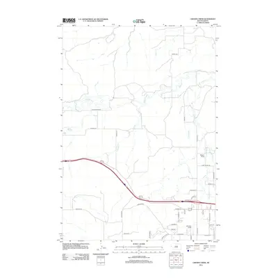
2012 Map of Chicken Creek
USGS Topo · Published 2012About this map
Redwater River and Spearfish Cr define the hydrological character of this Lawrence County landscape, where an intricate system of irrigation channels like Thompson Ditch and Cook Ditch supported the agricultural development of the region. The map reveals a transition from the lower riparian zones around Cox Lake and Mud Lake to the more varied terrain of Higgins Gulch. Residential expansion is evident in the network of local roads including Vista Hills Pl and Westview Dr, while older thoroughfares such as Old Belle Rd and Homestake Rd suggest the area's deeper ties to historical transportation and mining corridors. The presence of Johnston Gulch and various named creeks like Chicken Cr and Willow Cr illustrates a landscape where natural drainage and human-engineered water management coexist.
Find a feature on this map
44 named features on this map. Tap any name to fly to it.
Don’t see what you’re looking for? This feature index may not catch every label — zoom into the map to look around manually.
Map Details
Editions of this 2012 Chicken Creek Map
This is the sole edition of this map. No revisions or reprints were ever made.
Other maps of this area

1894 · Deadwood
USGS Topo · 1:125,000

1898 · Sundance
USGS Topo · 1:125,000

1900 · Spearfish
USGS Topo · 1:62,500

1901 · Deadwood
USGS Topo · 1:125,000

1901 · Aladdin
USGS Topo · 1:125,000

1902 · Sundance
USGS Topo · 1:125,000

1903 · Aladdin
USGS Topo · 1:125,000

1907 · Belle Fourche
USGS Topo · 1:125,000

1907 · Redwater
USGS Topo · 1:62,500

1915 · Spearfish
USGS Topo · 1:62,500