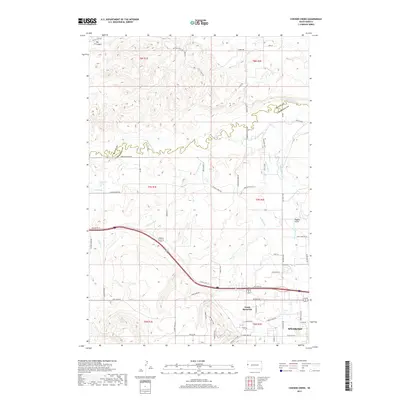
2017 Map of Chicken Creek
USGS Topo · Published 2017About this map
Spearfish and its northern extension, North Spearfish, anchor the southeastern corner of this landscape where the Black Hills meet the northern plains. The terrain is defined by a sophisticated network of irrigation and water management, visible through named channels like Cook Ditch, Herber Ditch, and Carlson Ditch that draw from Spearfish Cr. This water system supports the agricultural transitions occurring between the valley floor and the higher elevations of Big Canyon and Higgins Gulch.
Find a feature on this map
66 named features on this map. Tap any name to fly to it.
Don’t see what you’re looking for? This feature index may not catch every label — zoom into the map to look around manually.
Map Details
Editions of this 2017 Chicken Creek Map
This is the sole edition of this map. No revisions or reprints were ever made.
Other maps of this area

1894 · Deadwood
USGS Topo · 1:125,000

1898 · Sundance
USGS Topo · 1:125,000

1900 · Spearfish
USGS Topo · 1:62,500

1901 · Deadwood
USGS Topo · 1:125,000

1901 · Aladdin
USGS Topo · 1:125,000

1902 · Sundance
USGS Topo · 1:125,000

1903 · Aladdin
USGS Topo · 1:125,000

1907 · Belle Fourche
USGS Topo · 1:125,000

1907 · Redwater
USGS Topo · 1:62,500

1915 · Spearfish
USGS Topo · 1:62,500