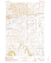
1984 Map of Chicken Creek
USGS Topo · Published 1985About this map
The Redwater River and Spearfish Creek converge in this territory along the Butte Co Lawrence Co border, marking a landscape defined by water management and mineral extraction in the mid-1980s. Traces of early agricultural infrastructure are visible through the Abandoned Canal and a Ditch Abandoned Canal near the Thompson area. The presence of Clay Pits and various Gravel Pits reflects the local industrial activity of the period.
Find a feature on this map
32 named features on this map. Tap any name to fly to it.
Don’t see what you’re looking for? This feature index may not catch every label — zoom into the map to look around manually.
Map Details
Editions of this 1984 Chicken Creek Map
This is the sole edition of this map. No revisions or reprints were ever made.
Other maps of this area
1894 · Deadwood
USGS Topo · 1:125,000
1898 · Sundance
USGS Topo · 1:125,000
1900 · Spearfish
USGS Topo · 1:62,500
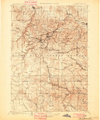
1901 · Deadwood
USGS Topo · 1:125,000
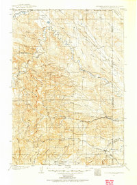
1901 · Aladdin
USGS Topo · 1:125,000
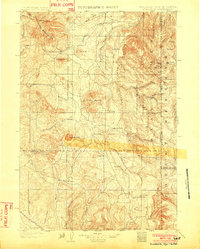
1902 · Sundance
USGS Topo · 1:125,000
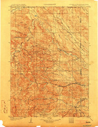
1903 · Aladdin
USGS Topo · 1:125,000
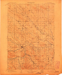
1907 · Belle Fourche
USGS Topo · 1:125,000
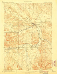
1907 · Redwater
USGS Topo · 1:62,500
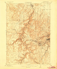
1915 · Spearfish
USGS Topo · 1:62,500