
1895 Map of Chico
USGS Topo · Published 1895About this map
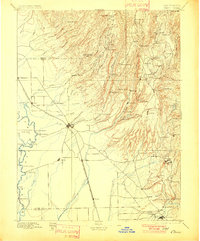
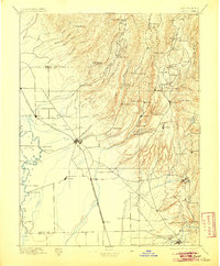
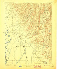
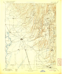
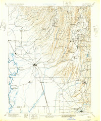
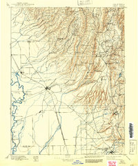
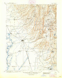
The Sacramento River and its myriad tributaries define this 1895 landscape, where valley agriculture meets the industrializing foothills of the Sierra Nevada. The Southern Pacific R. R. serves as a central artery through Chico, Durham, and Nelson, while the eastern reaches are marked by a dense network of lumber and flour operations. Named mills like Keefer's Mill, Chapman's Mill, and Doons Mill suggest a landscape heavily reliant on timber and water power along the Butte Creek and Feather River drainages.
Find a feature on this map
106 named features on this map. Tap any name to fly to it.
Don’t see what you’re looking for? This feature index may not catch every label — zoom into the map to look around manually.
Map Details
Editions of this 1895 Chico Map
8 editions found
Other maps of this area

1886 · Lassen Peak
USGS Topo · 1:250,000

1888 · Marysville
USGS Topo · 1:125,000

1888 · Smartsville
USGS Topo · 1:125,000

1888 · Bidwell Bar
USGS Topo · 1:125,000

1890 · Red Bluff
USGS Topo · 1:250,000

1891 · Bidwell Bar
USGS Topo · 1:125,000

1891 · Chico
USGS Topo · 1:125,000

1891 · Marysville
USGS Topo · 1:125,000

1891 · Smartsville
USGS Topo · 1:125,000

1892 · Lassen Peak
USGS Topo · 1:250,000