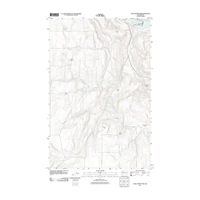
2011 Map of Chief Joseph Dam
USGS Topo · Published 2011About this map
Chief Joseph Dam anchors the northeast corner of this landscape, holding back the Columbia River as it flows through the high desert of Douglas County. The terrain transitions from the river's edge into a complex network of dry coulees and plateaus, defined by topographic features like Collins Canyon and Buckingham Flats. The drainage patterns are clearly marked by the forks of Foster Creek, including West Foster Creek, Middle Foster Creek, and East Foster Creek, which carve deep draws through the arid highlands.
Find a feature on this map
31 named features on this map. Tap any name to fly to it.
Don’t see what you’re looking for? This feature index may not catch every label — zoom into the map to look around manually.
Map Details
Editions of this 2011 Chief Joseph Dam Map
This is the sole edition of this map. No revisions or reprints were ever made.
Other maps of this area

1905 · Okanogan
USGS Topo · 1:125,000

1953 · Ritzville
USGS Topo · 1:250,000

1954 · Okanogan
USGS Topo · 1:250,000

1957 · Bridgeport
USGS Topo · 1:62,500

1957 · Brewster
USGS Topo · 1:62,500

1958 · Okanogan
USGS Topo · 1:250,000

1959 · Ritzville
USGS Topo · 1:250,000

1965 · Ritzville
USGS Topo · 1:250,000

1968 · Chief Joseph Dam
USGS Topo · 1:24,000

1968 · Wells Dam
USGS Topo · 1:24,000