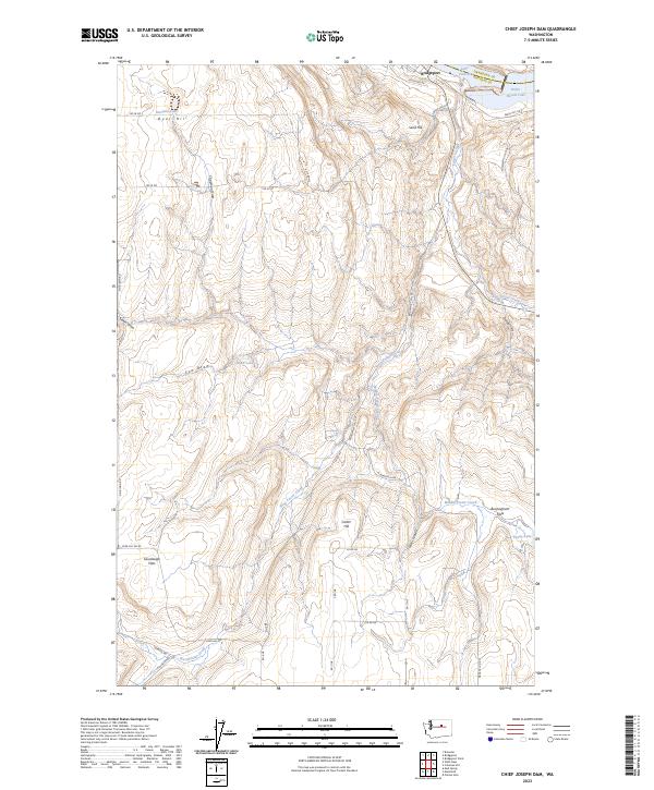
2023 Map of Chief Joseph Dam
USGS Topo · Published 2023About this map
Lake Pateros and Rufus Woods Lake define the northern edge of this high-plateau landscape, marking the transition between the river corridor and the rolling agricultural uplands of Douglas County. The terrain is deeply incised by a network of drainages including Foster Creek and its branches, West Foster Creek, Middle Foster Creek, and East Foster Creek. These seasonal watercourses have carved prominent geographic features like Collins Canyon and are flanked by elevated benchlands such as Sourdough Flats and Buckingham Flats. Historically significant for its water resources in an arid environment, the map identifies small upland catchments like McClain Lake, Rudd Lake, and Staver Spring. A network of rural section-line roads, including Dyer Hill Rd NE and Bridgeport Hill Rd, provides access to these remote reaches south of Bridgeport.
Find a feature on this map
44 named features on this map. Tap any name to fly to it.
Don’t see what you’re looking for? This feature index may not catch every label — zoom into the map to look around manually.
Map Details
Editions of this 2023 Chief Joseph Dam Map
This is the sole edition of this map. No revisions or reprints were ever made.
Other maps of this area

1905 · Okanogan
USGS Topo · 1:125,000

1953 · Ritzville
USGS Topo · 1:250,000

1954 · Okanogan
USGS Topo · 1:250,000

1957 · Bridgeport
USGS Topo · 1:62,500

1957 · Brewster
USGS Topo · 1:62,500

1958 · Okanogan
USGS Topo · 1:250,000

1959 · Ritzville
USGS Topo · 1:250,000

1965 · Ritzville
USGS Topo · 1:250,000

1968 · Chief Joseph Dam
USGS Topo · 1:24,000

1968 · Wells Dam
USGS Topo · 1:24,000