
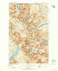
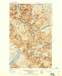
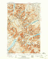
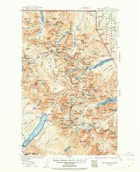
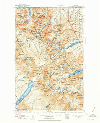
1938 Map of Chief Mountain
USGS Topo · Published 1953About this map
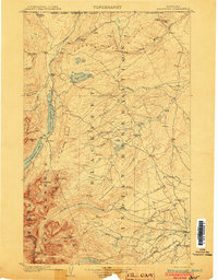
Many Glacier and the Going-to-the-Sun Chalet serve as central hubs in this 1938 revision of the Northern Rockies. The landscape is defined by the high-altitude infrastructure of the early twentieth century, featuring several backcountry stations such as Sperry Chalet and Kellys Camp. The map documents the intricate hydrology of the region, from the Belly River to the massive Waterton Lake straddling the United States - Dominion of Canada Boundary Line.
Find a feature on this map
235 named features on this map. Tap any name to fly to it.
Don’t see what you’re looking for? This feature index may not catch every label — zoom into the map to look around manually.
Map Details
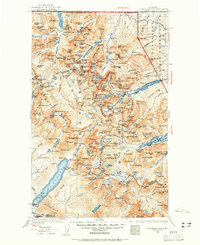
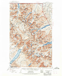
Editions of this 1938 Chief Mountain Map
8 editions found
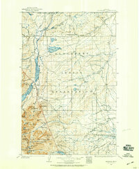
Other maps of this area
1901 · Browning
USGS Topo · 1:125,000
1903 · Browning
USGS Topo · 1:125,000

1904 · Chief Mountain
USGS Topo · 1:125,000

1906 · Kintla Lakes
USGS Topo · 1:125,000

1913 · Marias Pass
USGS Topo · 1:125,000

1914 · Nyack
USGS Topo · 1:125,000

1938 · Kintla Lakes
USGS Topo · 1:125,000

1943 · Kalispell
USGS Topo · 1:125,000

1957 · Kalispell
USGS Topo · 1:250,000

1960 · Kalispell
USGS Topo · 1:250,000