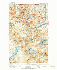
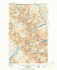
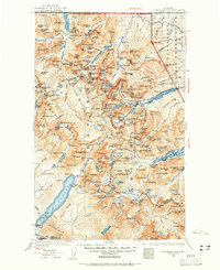
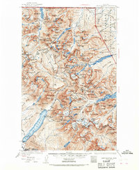
1938 Map of Chief Mountain
USGS Topo · Published 1963About this map
Glacier National Park defines the vast landscape of this 1938 revision, illustrating the high mountain passes and glacier-carved valleys before mid-century infrastructure changed the backcountry. The Going-to-the-Sun Highway carves through the center of the range, connecting the interior to historic lodges like the Many Glacier Chalet and Sperry Chalet. These sites, along with the Granite Park Chalet, represent the early era of wilderness tourism and park management when remote outposts were essential for travelers navigating by foot or horse.
Find a feature on this map
238 named features on this map. Tap any name to fly to it.
Don’t see what you’re looking for? This feature index may not catch every label — zoom into the map to look around manually.
Map Details
Editions of this 1938 Chief Mountain Map
8 editions found
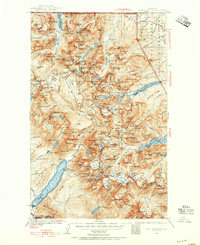
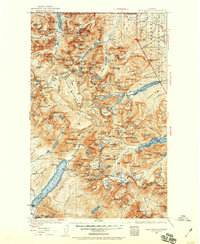
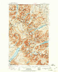
Other maps of this area

1901 · Browning
USGS Topo · 1:125,000

1903 · Browning
USGS Topo · 1:125,000

1904 · Chief Mountain
USGS Topo · 1:125,000

1906 · Kintla Lakes
USGS Topo · 1:125,000

1913 · Marias Pass
USGS Topo · 1:125,000

1914 · Nyack
USGS Topo · 1:125,000

1938 · Chief Mountain
USGS Topo · 1:125,000

1938 · Kintla Lakes
USGS Topo · 1:125,000

1943 · Kalispell
USGS Topo · 1:125,000

1957 · Kalispell
USGS Topo · 1:250,000