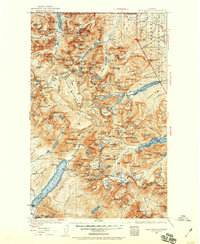
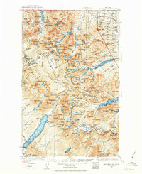
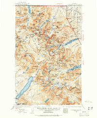
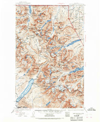
1938 Map of Chief Mountain
USGS Topo · Published 1959About this map
Lake McDonald and the towering heights of the Lewis Range dominate this landscape, which spans the international United States-Dominion of Canada boundary. Surveyed at the turn of the century and revised just before the Second World War, the map illustrates the early infrastructure of the national park era. The newly constructed Going-to-the-Sun Highway winds through the center of the sheet, providing access to the interior past landmarks like McDonald Falls and Hidden Lake.
Find a feature on this map
190 named features on this map. Tap any name to fly to it.
Don’t see what you’re looking for? This feature index may not catch every label — zoom into the map to look around manually.
Map Details
Editions of this 1938 Chief Mountain Map
8 editions found
Other maps of this area

1901 · Browning
USGS Topo · 1:125,000

1903 · Browning
USGS Topo · 1:125,000

1904 · Chief Mountain
USGS Topo · 1:125,000

1906 · Kintla Lakes
USGS Topo · 1:125,000

1913 · Marias Pass
USGS Topo · 1:125,000

1914 · Nyack
USGS Topo · 1:125,000

1938 · Chief Mountain
USGS Topo · 1:125,000

1938 · Kintla Lakes
USGS Topo · 1:125,000

1943 · Kalispell
USGS Topo · 1:125,000

1957 · Kalispell
USGS Topo · 1:250,000