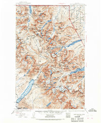
1938 Map of Chief Mountain
USGS Topo · Published 1968About this map
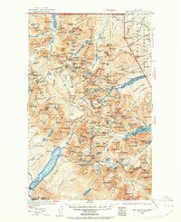
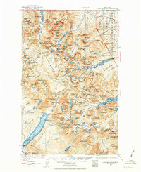
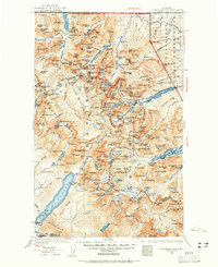
Lake McDonald and the surrounding high-altitude terrain define this 1938 revision of the Northern Rockies. The map documents the early years of the Going-to-the-Sun Highway as it traverses the continental divide, connecting the western gateway at Apgar and West Glacier with the eastern reaches of the Blackfeet Indian Reservation. This era of the park's history is characterized by the established network of high-country accommodations, including the Many Glacier Chalet, Granite Park Chalet, and Sperry Chalet, which served as hubs for early mountaineers and tourists. The landscape is a complex system of named peaks such as Cathedral Pk and Mt Jackson, alongside numerous glaciers like the Red Eagle Glacier. Small outposts and seasonal camps, such as Kellys Camp and Rogers Ranch, provide evidence of the localized settlement and administrative footprint during the pre-war period.
Find a feature on this map
196 named features on this map. Tap any name to fly to it.
Don’t see what you’re looking for? This feature index may not catch every label — zoom into the map to look around manually.
Map Details
Editions of this 1938 Chief Mountain Map
8 editions found
Other maps of this area

1901 · Browning
USGS Topo · 1:125,000

1903 · Browning
USGS Topo · 1:125,000

1904 · Chief Mountain
USGS Topo · 1:125,000

1906 · Kintla Lakes
USGS Topo · 1:125,000

1913 · Marias Pass
USGS Topo · 1:125,000

1914 · Nyack
USGS Topo · 1:125,000

1938 · Chief Mountain
USGS Topo · 1:125,000

1938 · Kintla Lakes
USGS Topo · 1:125,000

1943 · Kalispell
USGS Topo · 1:125,000

1957 · Kalispell
USGS Topo · 1:250,000