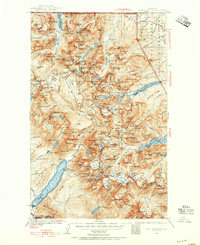
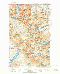
1938 Map of Chief Mountain
USGS Topo · Published 1955About this map
Glacier National Park and the adjacent Blackfeet Indian Reservation are shown here as they appeared in the late 1930s, documenting a landscape defined by its ice fields and early tourist infrastructure. The engineering of the Going-to-the-Sun Highway is a central feature, winding past Heavens Pk and the Sperry Glacier. This era of the park’s history is preserved through the locations of backcountry outposts like Goat Haunt Camp, Kellys Camp, and the high-altitude Sperry Chalet.
Find a feature on this map
196 named features on this map. Tap any name to fly to it.
Don’t see what you’re looking for? This feature index may not catch every label — zoom into the map to look around manually.
Map Details
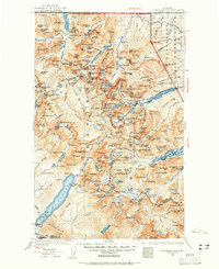
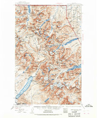
Editions of this 1938 Chief Mountain Map
8 editions found
Other maps of this area

1901 · Browning
USGS Topo · 1:125,000

1903 · Browning
USGS Topo · 1:125,000

1904 · Chief Mountain
USGS Topo · 1:125,000

1906 · Kintla Lakes
USGS Topo · 1:125,000

1913 · Marias Pass
USGS Topo · 1:125,000

1914 · Nyack
USGS Topo · 1:125,000

1938 · Chief Mountain
USGS Topo · 1:125,000

1938 · Kintla Lakes
USGS Topo · 1:125,000

1943 · Kalispell
USGS Topo · 1:125,000

1957 · Kalispell
USGS Topo · 1:250,000