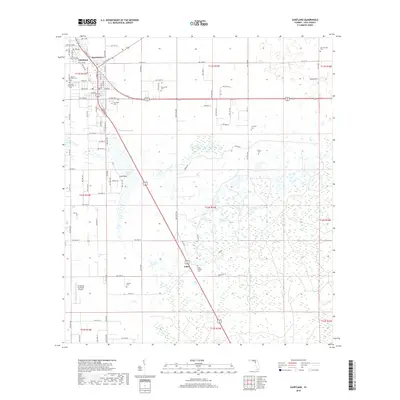
2018 Map of Chiefland
USGS Topo · Published 2018About this map
The settlement of Chiefland serves as the focal point for this 2018 survey of Levy County, showing the intersection of local industry and rural heritage. This modern topographic study captures the community before significant further expansion, revealing a landscape dotted with numerous historic burial grounds including the Chiefland Cem, Levyville Cem, and Adamsville Cem. The northern portion of the map is defined by the proximity of Hardeetown and the residential corridors of W Walnut and E Park Ave. To the south and west, the terrain transitions into a mosaic of wetlands and small water bodies, most notably Long Pond. Aviation interests are represented by the Chiefland Sky Ranch Airport, while the presence of family-named landmarks like the Usher Family Cem near the small community of Usher offers valuable geographic data for genealogists tracing regional lineages.
Find a feature on this map
50 named features on this map. Tap any name to fly to it.
Don’t see what you’re looking for? This feature index may not catch every label — zoom into the map to look around manually.
Map Details
Editions of this 2018 Chiefland Map
This is the sole edition of this map. No revisions or reprints were ever made.
Other maps of this area

1954 · Chiefland
USGS Topo · 1:24,000

1954 · Otter Creek
USGS Topo · 1:24,000

1954 · Bronson
USGS Topo · 1:24,000

1954 · Manatee Springs
USGS Topo · 1:24,000

1954 · Chiefland SW
USGS Topo · 1:24,000

1954 · Bronson SW
USGS Topo · 1:24,000

1954 · Gainesville
USGS Topo · 1:250,000

1958 · Gainesville
USGS Topo · 1:250,000

1959 · Gainesville
USGS Topo · 1:250,000

1968 · Newberry SW
USGS Topo · 1:24,000