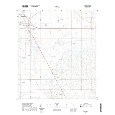
2021 Map of Chiefland
USGS Topo · Published 2021About this map
Chiefland serves as the central hub of this Levy County landscape, where the street grid transitions from the municipal center into a vast network of section lines and rural tracks. The settlement of Hardeetown sits just to the north, while the smaller community of Usher is located to the southeast along the highway. This area of Florida is defined by a low-lying, watery terrain, most prominently seen at Long Pond, and characterized by numerous pocketed wetlands that permeate the township and range divisions. Local history is deeply embedded in the land through an unusually high concentration of family and community burial grounds, including the Levyville Cem, Adamsville Cem, and the Usher Family Cem. The presence of the Chiefland Sky Ranch Airport underscores the region's mid-century aviation infrastructure, serving the scattered agrarian communities that dot the pine-and-palm flatlands.
Find a feature on this map
60 named features on this map. Tap any name to fly to it.
Don’t see what you’re looking for? This feature index may not catch every label — zoom into the map to look around manually.
Map Details
Editions of this 2021 Chiefland Map
This is the sole edition of this map. No revisions or reprints were ever made.
Other maps of this area

1954 · Chiefland
USGS Topo · 1:24,000

1954 · Otter Creek
USGS Topo · 1:24,000

1954 · Bronson
USGS Topo · 1:24,000

1954 · Manatee Springs
USGS Topo · 1:24,000

1954 · Chiefland SW
USGS Topo · 1:24,000

1954 · Bronson SW
USGS Topo · 1:24,000

1954 · Gainesville
USGS Topo · 1:250,000

1958 · Gainesville
USGS Topo · 1:250,000

1959 · Gainesville
USGS Topo · 1:250,000

1968 · Newberry SW
USGS Topo · 1:24,000