
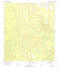
1954 Map of Chiefland SW
USGS Topo · Published 1956About this map
Gulf Hammock dominates the landscape of this 1954 survey in coastal Levy County, Florida. This dense subtropical woodland area is depicted with intricate detail, illustrating the complex network of wetlands and scattered high ground characteristic of the Big Bend region. The small settlement of Sumner is the primary human landmark on the sheet, situated along a primary roadway that cuts through the surrounding wilderness. Compiled in part from 1951 aerial photography, the map captures the region's topography before significant modern drainage or development altered the natural flow of the hammock. It is a vital record for understanding the original environmental character of this specialized coastal ecosystem during the mid-twentieth century.
Find a feature on this map
2 named features on this map. Tap any name to fly to it.
Don’t see what you’re looking for? This feature index may not catch every label — zoom into the map to look around manually.
Map Details
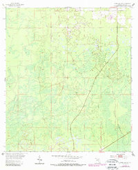
Editions of this 1954 Chiefland SW Map
3 editions found
Other maps of this area

1954 · Chiefland
USGS Topo · 1:24,000

1954 · Otter Creek
USGS Topo · 1:24,000

1954 · Manatee Springs
USGS Topo · 1:24,000

1954 · Vista
USGS Topo · 1:24,000

1954 · East Pass
USGS Topo · 1:24,000

1954 · Gainesville
USGS Topo · 1:250,000

1955 · Cedar Key
USGS Topo · 1:24,000

1955 · Waccasassa Bay
USGS Topo · 1:24,000

1955 · Sumner
USGS Topo · 1:24,000

1958 · Gainesville
USGS Topo · 1:250,000