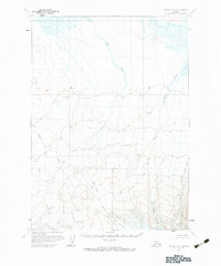
1963 Map of Chignik B-5
USGS Topo · Published 1983About this map
Glacial ice and high-altitude drainage systems dominate this mid-century survey of the Chignik region. The landscape is defined by the convergence of the Fog Glacier, Island Glacier, and Outlet Glacier, which feed a complex network of meltwater streams flowing toward the coast. The drainage pattern is particularly evident through Fog Creek, which cuts a significant path from the glacial heights through the center of the sheet, joined by smaller tributaries like Fireweed Creek and Blueberry Creek.
Find a feature on this map
9 named features on this map. Tap any name to fly to it.
Don’t see what you’re looking for? This feature index may not catch every label — zoom into the map to look around manually.
Map Details
Editions of this 1963 Chignik B-5 Map
2 editions found
Other maps of this area

1963 · Chignik A-4
USGS Topo · 1:63,360

1963 · Chignik C-4
USGS Topo · 1:63,360

1963 · Chignik A-6
USGS Topo · 1:63,360

1963 · Chignik B-5
USGS Topo · 1:63,360

1963 · Chignik B-4
USGS Topo · 1:63,360

1963 · Chignik B-6
USGS Topo · 1:63,360

1963 · Chignik A-5
USGS Topo · 1:63,360
1963 · Chignik C-6
USGS Topo · 1:63,360

1963 · Chignik C-5
USGS Topo · 1:63,360

1963 · Chignik
USGS Topo · 1:250,000