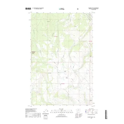
2020 Map of Chiliwist Valley
USGS Topo · Published 2020About this map
Olema sits at the heart of this landscape, where the agricultural terrain of the Chiliwist Valley meets the rising slopes of the Okanogan National Forest. This 2020 survey illustrates a complex water management system essential for the high-altitude geography, featuring the Stout Reservoir and several drainages like Chiliwist Cr and Whitestone Cr. The terrain is defined by prominent peaks including Woody Mtn and Cook Mtn, while the eastern edge is marked by the distinctive Chiliwist Butte and the sharp descent of Rattlesnake Point. The road network, including Golden Rule Rd and Lindquist Rd, follows the natural contours of the canyons and ridgelines, reflecting a rural infrastructure built around the valley's cattle and timber traditions.
Find a feature on this map
30 named features on this map. Tap any name to fly to it.
Don’t see what you’re looking for? This feature index may not catch every label — zoom into the map to look around manually.
Map Details
Editions of this 2020 Chiliwist Valley Map
This is the sole edition of this map. No revisions or reprints were ever made.
Other maps of this area

1905 · Okanogan
USGS Topo · 1:125,000

1954 · Okanogan
USGS Topo · 1:250,000

1956 · Loup Loup
USGS Topo · 1:62,500

1957 · Okanogan
USGS Topo · 1:62,500

1957 · Bridgeport
USGS Topo · 1:62,500

1957 · Brewster
USGS Topo · 1:62,500

1958 · Okanogan
USGS Topo · 1:250,000
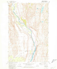
1980 · Monse
USGS Topo · 1:24,000
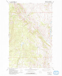
1980 · Ruby Hill
USGS Topo · 1:24,000
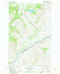
1981 · Malott
USGS Topo · 1:24,000