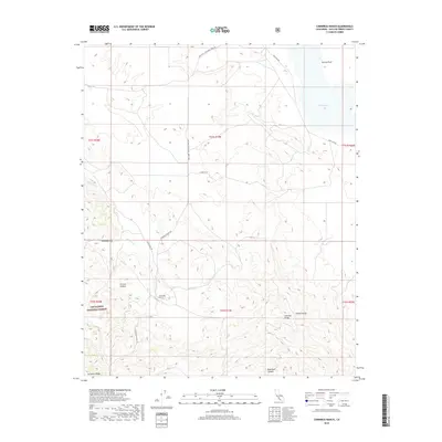
2018 Map of Chimineas Ranch
USGS Topo · Published 2018About this map
Chimineas Ranch serves as a central landmark in this remote corner of San Luis Obispo County, situated where the high arid grasslands meet the rising slopes of the Caliente Range. The landscape is defined by the stark contrasts of the Carrizo Plain, an internally drained basin where the seasonal waters of Soda Lake and Big Spring create a unique terminal lake environment. The topography shifts abruptly from the level expanse of Deadman Flat into the deeply incised drainages of Carrizo Canyon and Saltos Canyon.
Find a feature on this map
23 named features on this map. Tap any name to fly to it.
Don’t see what you’re looking for? This feature index may not catch every label — zoom into the map to look around manually.
Map Details
Editions of this 2018 Chimineas Ranch Map
This is the sole edition of this map. No revisions or reprints were ever made.
Other maps of this area

1912 · McKittrick
USGS Topo · 1:125,000

1932 · La Panza
USGS Topo · 1:48,000

1935 · La Panza
USGS Topo · 1:62,500

1936 · La Panza
USGS Topo · 1:62,500

1937 · Branch Mtn
USGS Topo · 1:48,000

1941 · Caliente Mountain
USGS Topo · 1:62,500

1942 · Branch Mountain
USGS Topo · 1:62,500

1942 · Caliente Mtn
USGS Topo · 1:62,500

1943 · Simmler
USGS Topo · 1:62,500

1943 · Caliente Mtn.
USGS Topo · 1:62,500