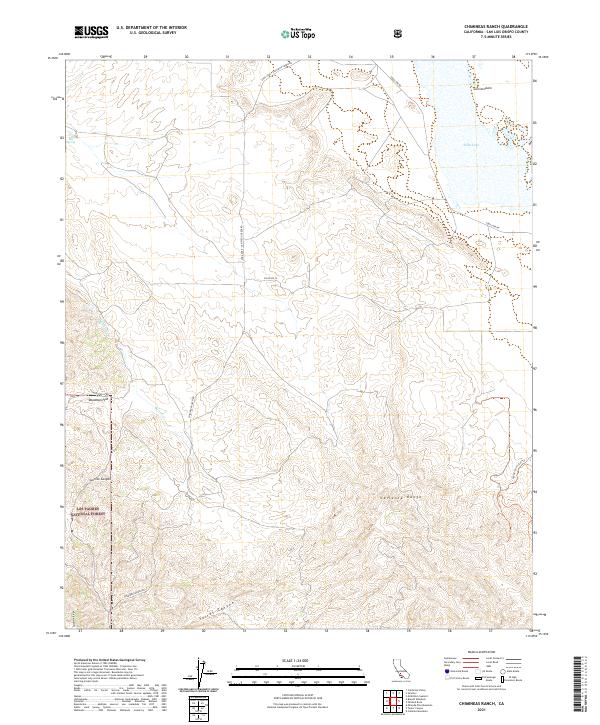
2021 Map of Chimineas Ranch
USGS Topo · Published 2021About this map
Carrizo Plain and the Caliente Range dominate this interior San Luis Obispo County landscape, reflecting the remote ranching and conservation character of the region. The map details a network of unpaved access points such as Chimineas Ranch Rd and Taylor Well Rd, which connect isolated water sources like Big Spring and ephemeral drainage systems including Barrett Cr.
Find a feature on this map
22 named features on this map. Tap any name to fly to it.
Don’t see what you’re looking for? This feature index may not catch every label — zoom into the map to look around manually.
Map Details
Editions of this 2021 Chimineas Ranch Map
This is the sole edition of this map. No revisions or reprints were ever made.
Other maps of this area

1912 · McKittrick
USGS Topo · 1:125,000

1932 · La Panza
USGS Topo · 1:48,000

1935 · La Panza
USGS Topo · 1:62,500

1936 · La Panza
USGS Topo · 1:62,500

1937 · Branch Mtn
USGS Topo · 1:48,000

1941 · Caliente Mountain
USGS Topo · 1:62,500

1942 · Branch Mountain
USGS Topo · 1:62,500

1942 · Caliente Mtn
USGS Topo · 1:62,500

1943 · Simmler
USGS Topo · 1:62,500

1943 · Caliente Mtn.
USGS Topo · 1:62,500