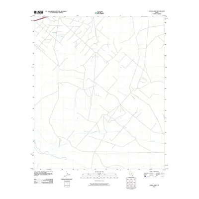
2010 Map of China Lake
USGS Topo · Published 2010About this map
The Pecos River defines the southern reach of this West Texas landscape, winding through a region characterized by sparse water sources and ranch infrastructure. This 2010 survey highlights the local hydrology, centered on the depressions of China Lake and Horseshoe Lake. These ephemeral water bodies and the surrounding drainage patterns illustrate the arid nature of Reeves County, where historical land use is tied closely to the availability of water.
Find a feature on this map
7 named features on this map. Tap any name to fly to it.
Don’t see what you’re looking for? This feature index may not catch every label — zoom into the map to look around manually.
Map Details
Editions of this 2010 China Lake Map
This is the sole edition of this map. No revisions or reprints were ever made.
Other maps of this area

1931 · Barstow
USGS Topo · 1:125,000

1954 · Pecos
USGS Topo · 1:250,000

1957 · Pecos
USGS Topo · 1:250,000

1963 · Ligon Ranch
USGS Topo · 1:24,000

1963 · Old X Ranch
USGS Topo · 1:24,000

1963 · Quito Draw
USGS Topo · 1:24,000

1963 · China Lake NE
USGS Topo · 1:24,000

1963 · Rio Pecos Ranch
USGS Topo · 1:24,000

1963 · China Lake
USGS Topo · 1:24,000

1968 · Soda Lake SE
USGS Topo · 1:24,000