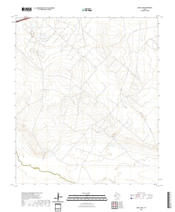
2022 Map of China Lake
USGS Topo · Published 2022About this map
The Pecos River carves a winding path along the southwestern edge of this landscape, defining the historic boundary between Ward County and Reeves County. This arid West Texas terrain is characterized by ephemeral water features and irrigation infrastructure essential to the region's ranching and agricultural history. China Lake and the nearby Horseshoe Lake sit in the northern reaches, while the Big Valley Canal cuts across the southern portion, reflecting 21st-century water management efforts in a thirsty environment. A network of local transit is provided by Co Rd 426 and Co Rd 427, which navigate the subtle elevation changes of the surrounding plains. The lack of concentrated settlements highlights the rural, open character of this section of the Pecos River Valley.
Find a feature on this map
7 named features on this map. Tap any name to fly to it.
Don’t see what you’re looking for? This feature index may not catch every label — zoom into the map to look around manually.
Map Details
Editions of this 2022 China Lake Map
This is the sole edition of this map. No revisions or reprints were ever made.
Other maps of this area

1931 · Barstow
USGS Topo · 1:125,000

1954 · Pecos
USGS Topo · 1:250,000

1957 · Pecos
USGS Topo · 1:250,000

1963 · Ligon Ranch
USGS Topo · 1:24,000

1963 · Old X Ranch
USGS Topo · 1:24,000

1963 · Quito Draw
USGS Topo · 1:24,000

1963 · China Lake NE
USGS Topo · 1:24,000

1963 · Rio Pecos Ranch
USGS Topo · 1:24,000

1963 · China Lake
USGS Topo · 1:24,000

1968 · Soda Lake SE
USGS Topo · 1:24,000