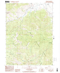
1986 Map of China Mtn
USGS Topo · Published 1986About this map
The Scott Mountains dominate this high-elevation terrain, where the northernmost reaches of the Klamath National Forest meet the Shasta National Forest. This 1986 survey documents a landscape defined by dramatic ridge lines and the headwaters of numerous drainages, including the West Fork Parks Creek and the South Fork Willow Creek. While largely unpopulated, the presence of the Houston Cabin and the Dewey Mine indicates the region’s history of intermittent habitation and extraction.
Find a feature on this map
22 named features on this map. Tap any name to fly to it.
Don’t see what you’re looking for? This feature index may not catch every label — zoom into the map to look around manually.
Map Details
Editions of this 1986 China Mtn Map
2 editions found
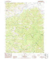
Other maps of this area

1886 · Shasta
USGS Topo · 1:250,000

1894 · Shasta
USGS Topo · 1:250,000

1921 · Shasta Valley Sheet No 7
USGS Topo · 1:24,000

1921 · Shasta Valley Sheet No 1
USGS Topo · 1:24,000

1922 · Shasta Valley Sheet No 1 S
USGS Topo · 1:24,000
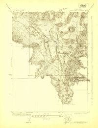
1922 · Shasta Valley Sheet No 8
USGS Topo · 1:24,000

1923 · Sawyers Bar
USGS Topo · 1:125,000

1931 · Etna
USGS Topo · 1:96,000

1932 · Yreka
USGS Topo · 1:96,000

1934 · Etna
USGS Topo · 1:125,000