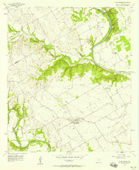
1957 Map of China Springs
USGS Topo · Published 1958About this map
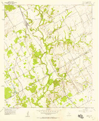
The Brazos River snakes through the northern reaches of this mid-century McLennan County landscape, creating the prominent peninsula of Wortham Bend. Further south, the Bosque River carves a deep valley through the western terrain, flanked by Wildcat Canyon and several unnamed ridges. This 1950s survey documents a predominantly rural agricultural district at the edge of the Texas Blackland Prairies, centered on the community of China Springs. Numerous gravel extraction sites are scattered across the uplands, particularly near Line Creek, indicating the local importance of the aggregate industry during this era of regional growth.
Find a feature on this map
26 named features on this map. Tap any name to fly to it.
Don’t see what you’re looking for? This feature index may not catch every label — zoom into the map to look around manually.
Map Details
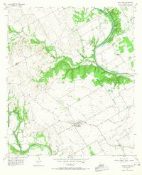
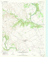
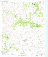
Editions of this 1957 China Springs Map
4 editions found
Other maps of this area

1892 · Waco
USGS Topo · 1:125,000

1920 · Waco
USGS Topo · 1:125,000

1924 · Waco 4-c
USGS Topo · 1:48,000

1924 · Waco 3-d
USGS Topo · 1:48,000

1931 · Whitney
USGS Topo · 1:62,500

1931 · Valley Mills
USGS Topo · 1:62,500

1931 · Elm Mott
USGS Topo · 1:62,500

1954 · Waco
USGS Topo · 1:250,000

1955 · Waco
USGS Topo · 1:250,000
1957 · Aquilla
USGS Topo · 1:24,000