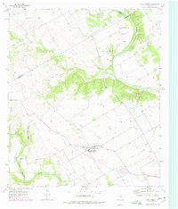
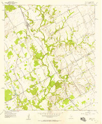
1957 Map of China Springs
USGS Topo · Published 1977About this map
China Springs and its namesake post office serve as the primary settlement hub for this rural stretch of McLennan County, situated between the winding Brazos River and the North Bosque River. The landscape is defined by its deep limestone drainage systems, including Childress Creek and Rock Creek, which carve through the terrain toward the Brazos. Small rural outposts like Eagle, Erath, and Payne appear as clusters of homes and farmsteads connected by local routes like Road 1637.
Find a feature on this map
32 named features on this map. Tap any name to fly to it.
Don’t see what you’re looking for? This feature index may not catch every label — zoom into the map to look around manually.
Map Details
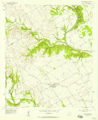
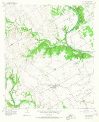
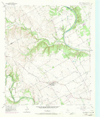
Editions of this 1957 China Springs Map
4 editions found
Other maps of this area

1892 · Waco
USGS Topo · 1:125,000

1920 · Waco
USGS Topo · 1:125,000

1924 · Waco 4-c
USGS Topo · 1:48,000

1924 · Waco 3-d
USGS Topo · 1:48,000

1931 · Whitney
USGS Topo · 1:62,500

1931 · Valley Mills
USGS Topo · 1:62,500

1931 · Elm Mott
USGS Topo · 1:62,500

1954 · Waco
USGS Topo · 1:250,000

1955 · Waco
USGS Topo · 1:250,000
1957 · Aquilla
USGS Topo · 1:24,000