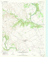
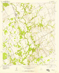
1957 Map of China Springs
USGS Topo · Published 1971About this map
China Springs serves as the focal point of this Central Texas landscape, situated between the winding Brazos River to the east and the North Bosque River to the southwest. The map documents a period of rural transition in McLennan County, evidenced by several roads marked as Under Construction and a landscape dotted with numerous Gravel Pits. Local genealogy is well-preserved through family-named locations such as Payne and Graves, alongside community anchors like Oak Grove Ch and the Wortham Bend Cem.
Find a feature on this map
27 named features on this map. Tap any name to fly to it.
Don’t see what you’re looking for? This feature index may not catch every label — zoom into the map to look around manually.
Map Details
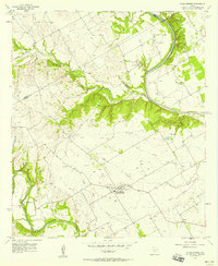
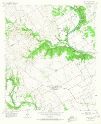
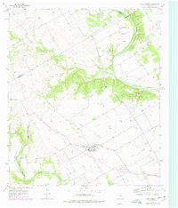
Editions of this 1957 China Springs Map
4 editions found
Other maps of this area

1892 · Waco
USGS Topo · 1:125,000

1920 · Waco
USGS Topo · 1:125,000

1924 · Waco 4-c
USGS Topo · 1:48,000

1924 · Waco 3-d
USGS Topo · 1:48,000

1931 · Whitney
USGS Topo · 1:62,500

1931 · Valley Mills
USGS Topo · 1:62,500

1931 · Elm Mott
USGS Topo · 1:62,500

1954 · Waco
USGS Topo · 1:250,000

1955 · Waco
USGS Topo · 1:250,000
1957 · Aquilla
USGS Topo · 1:24,000