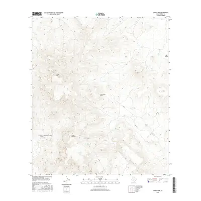
2016 Map of Chinati Peak
USGS Topo · Published 2016About this map
Chinati Peak and the high ridges of the Chinati Mountains dominate this high-desert region of Presidio County. The landscape is defined by its water sources, both natural and improved, which have supported ranching in this arid environment for generations. Key springs such as Ojo Bonito Spring and Bull Spring are marked alongside man-made water catchments like Mesa Tank and Presa Rincon. Navigation through the complex terrain relies on primitive routes like Sable Rd and the Pack Trl. Deep topographic features such as Boulder Canyon, Doll Canyon, and Pinto Canyon reveal the geological character of the Trans-Pecos. The presence of named drainages like Oso Cr and locations such as La Mesa highlight the Spanish cultural influence on the local nomenclature and land use patterns.
Find a feature on this map
24 named features on this map. Tap any name to fly to it.
Don’t see what you’re looking for? This feature index may not catch every label — zoom into the map to look around manually.
Map Details
Editions of this 2016 Chinati Peak Map
This is the sole edition of this map. No revisions or reprints were ever made.
Other maps of this area
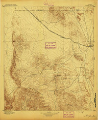
1895 · Marfa
USGS Topo · 1:125,000
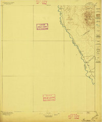
1896 · Ruidosa
USGS Topo · 1:125,000
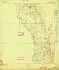
1896 · San Carlos
USGS Topo · 1:125,000
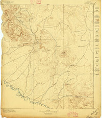
1896 · Shafter
USGS Topo · 1:125,000
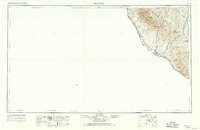
1959 · Presidio
USGS Topo · 1:250,000
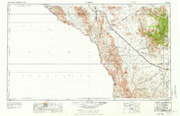
1959 · Marfa
USGS Topo · 1:250,000
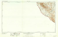
1965 · Presidio
USGS Topo · 1:250,000
1965 · Marfa
USGS Topo · 1:250,000
1966 · Adobes
USGS Topo · 1:24,000
1978 · Sierra Parda
USGS Topo · 1:24,000