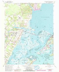
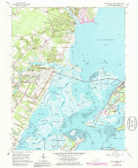
1965 Map of Chincoteague West
USGS Topo · Published 1991About this map
Wallops Island and its aeronautical facilities dominate the tidal landscape of coastal Virginia in this mid-1960s survey. The map details the Wallops Flight Facility (NASA-GSFC) and its extensive launching facilities further south, illustrating the era's expanding aerospace infrastructure. Inland from the complex, rural life is marked by agricultural clearings and small community centers like Horntown and Wattsville, while Tabernacle Ch and Dees Ch anchor the local social geography.
Find a feature on this map
81 named features on this map. Tap any name to fly to it.
Don’t see what you’re looking for? This feature index may not catch every label — zoom into the map to look around manually.
Map Details
Editions of this 1965 Chincoteague West Map
5 editions found
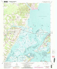
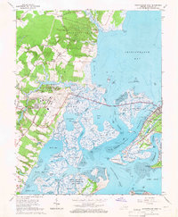
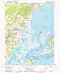
Other maps of this area

1901 · Snow Hill
USGS Topo · 1:62,500

1942 · Chincoteague East
USGS Topo · 1:24,000

1942 · Mappsville
USGS Topo · 1:24,000

1942 · Wallops Island
USGS Topo · 1:24,000

1943 · Boxiron
USGS Topo · 1:31,680

1943 · Mappsville
USGS Topo · 1:31,680

1943 · Chincoteague West
USGS Topo · 1:31,680
1943 · Girdletree
USGS Topo · 1:31,680
1943 · Hallwood
USGS Topo · 1:31,680
1943 · Pocomoke City
USGS Topo · 1:31,680