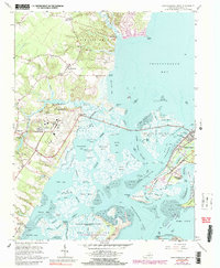
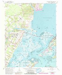
1965 Map of Chincoteague West
USGS Topo · Published 1965About this map
The intricate coastal ecology of Virginia's Eastern Shore dominates this mid-1960s study, where the salt marshes and tidal flats of Chincoteague Bay meet the growing footprint of federal aerospace and conservation efforts. Chincoteague Island serves as the primary hub of settlement, showing its residential streets and the Trailer Park nestled against the maritime landscape. To the west, the Wallops Flight Facility (NASA-GSFC) and its associated launching grounds on Wallops Island signal the era's technological expansion into the wetlands.
Find a feature on this map
80 named features on this map. Tap any name to fly to it.
Don’t see what you’re looking for? This feature index may not catch every label — zoom into the map to look around manually.
Map Details
Editions of this 1965 Chincoteague West Map
5 editions found
Other maps of this area

1901 · Snow Hill
USGS Topo · 1:62,500

1942 · Chincoteague East
USGS Topo · 1:24,000

1942 · Mappsville
USGS Topo · 1:24,000

1942 · Wallops Island
USGS Topo · 1:24,000

1943 · Boxiron
USGS Topo · 1:31,680

1943 · Mappsville
USGS Topo · 1:31,680

1943 · Chincoteague West
USGS Topo · 1:31,680
1943 · Girdletree
USGS Topo · 1:31,680
1943 · Hallwood
USGS Topo · 1:31,680
1943 · Pocomoke City
USGS Topo · 1:31,680