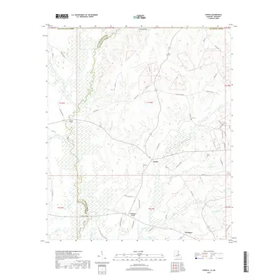
2018 Map of Chipola
USGS Topo · Published 2018About this map
The East Fork Amite River forms a naturally winding boundary between East Feliciana Parish and St. Helena Parish, anchoring a landscape of small settlements and rural homesteads. This 2018 survey documents the community hubs of Chipola, Coleman Town, and Darlington, which are connected by a web of local roads named for established families, such as Jane Venable Rd and Rd Stewart Rd.
Find a feature on this map
73 named features on this map. Tap any name to fly to it.
Don’t see what you’re looking for? This feature index may not catch every label — zoom into the map to look around manually.
Map Details
Editions of this 2018 Chipola Map
This is the sole edition of this map. No revisions or reprints were ever made.
Other maps of this area

1941 · Woodland
USGS Topo · 1:31,680

1941 · Gilead
USGS Topo · 1:31,680

1941 · Chipola
USGS Topo · 1:31,680

1942 · Liverpool
USGS Topo · 1:31,680

1942 · Gilead
USGS Topo · 1:31,680

1945 · Chipola
USGS Topo · 1:31,680

1949 · Bluff Creek
USGS Topo · 1:31,680

1950 · Greensburg
USGS Topo · 1:31,680

1953 · Natchez
USGS Topo · 1:250,000

1954 · Baton Rouge
USGS Topo · 1:250,000