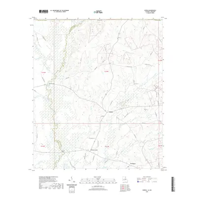
2020 Map of Chipola
USGS Topo · Published 2020About this map
The East Fork Amite River and the main channel of the Amite River define the western landscape of this portion of St. Helena Parish and East Feliciana Parish. Low-lying wetlands and complex creek systems, including Beaver Creek and Turkey Cr, dominate the river valley, while the higher ground to the east is marked by rural settlements like Chipola, Coleman Town, and Darlington. Local family names are preserved throughout the road network and cemeteries, with Wales Cem, Kemp Cem, and Hurst Cem serving as important landmarks for genealogical research. The river crossing at McAdam Bridge remains a key navigational point in a territory where small tributaries like Joiner Cr and Sandy Run carve through the woodland. The survey reveals a community structure tied closely to the land and the waterways, where parish roads like St. Helena Church Rd connect the scattered homesteads.
Find a feature on this map
67 named features on this map. Tap any name to fly to it.
Don’t see what you’re looking for? This feature index may not catch every label — zoom into the map to look around manually.
Map Details
Editions of this 2020 Chipola Map
This is the sole edition of this map. No revisions or reprints were ever made.
Other maps of this area

1941 · Woodland
USGS Topo · 1:31,680

1941 · Gilead
USGS Topo · 1:31,680

1941 · Chipola
USGS Topo · 1:31,680

1942 · Liverpool
USGS Topo · 1:31,680

1942 · Gilead
USGS Topo · 1:31,680

1945 · Chipola
USGS Topo · 1:31,680

1949 · Bluff Creek
USGS Topo · 1:31,680

1950 · Greensburg
USGS Topo · 1:31,680

1953 · Natchez
USGS Topo · 1:250,000

1954 · Baton Rouge
USGS Topo · 1:250,000