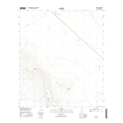
2016 Map of Chispa
USGS Topo · Published 2016About this map
Chispa and the surrounding high desert of Jeff Davis County are defined by a network of ranch roads and intermittent watercourses in this 2016 survey. The terrain transitions from the wide Lobo Valley in the north and east toward the dramatic elevations of Sierra Vieja in the southwest. Local geography is heavily shaped by the presence of the "Ninetysix" landmarks, including the topographic relief of Ninetysix Canyon and the critical water source at Ninetysix Spring. Cattle ranching infrastructure remains central to the landscape, as evidenced by thoroughfares like Means Ranch Rd and White Ranch Rd. Ephemeral drainage systems such as Wild Horse Cr and Tally Slough illustrate the arid hydrology of the region, where water flow is rare but defining. The map captures a moment in West Texas land use where large-scale ranching and rugged natural barriers like Ninetysix Gap dictate the sparse pattern of settlement.
Find a feature on this map
13 named features on this map. Tap any name to fly to it.
Don’t see what you’re looking for? This feature index may not catch every label — zoom into the map to look around manually.
Map Details
Editions of this 2016 Chispa Map
This is the sole edition of this map. No revisions or reprints were ever made.
Other maps of this area
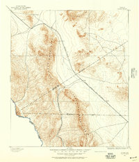
1892 · Chispa
USGS Topo · 1:125,000
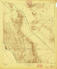
1895 · Chispa
USGS Topo · 1:125,000
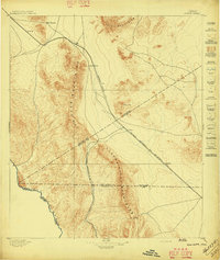
1897 · Chispa
USGS Topo · 1:125,000
1959 · Marfa
USGS Topo · 1:250,000
1965 · Marfa
USGS Topo · 1:250,000
1972 · Lobo
USGS Topo · 1:24,000
1972 · Soldier Spring
USGS Topo · 1:24,000
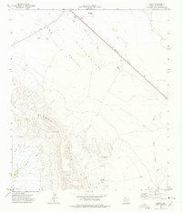
1972 · Chispa
USGS Topo · 1:24,000
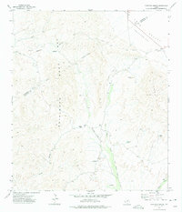
1972 · Ninetysix Ranch
USGS Topo · 1:24,000
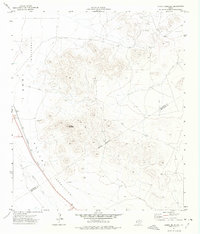
1972 · Chispa Mountain
USGS Topo · 1:24,000