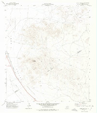
1972 Map of Chispa Mountain
USGS Topo · Published 1975About this map
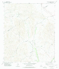
Chispa Mountain dominates the center of this West Texas landscape, surrounded by the vast expanse of the Lobo Valley. This 1972 field-checked survey captures the arid isolation of the Trans-Pecos region, where human activity is defined by long-distance infrastructure and resource extraction. The Southern Pacific railroad cuts a diagonal line across the valley floor, passing through the locality of Danube and several numbered bench marks. An Indefinite Boundary separates Culberson and Jeff Davis counties, winding through the high ground. Evidence of local industry and survival in the desert appears in the form of multiple Tanks, a Drill Hole, and a Gravel Pit. The network of travel is limited to established roads and a rugged Jeep Trail that skirts the southern slopes of the mountain, while natural drainage is marked by the seasonal Wild Horse Draw.
Find a feature on this map
17 named features on this map. Tap any name to fly to it.
Don’t see what you’re looking for? This feature index may not catch every label — zoom into the map to look around manually.
Map Details
Editions of this 1972 Chispa Mountain Map
This is the sole edition of this map. No revisions or reprints were ever made.
Other maps of this area

1892 · Chispa
USGS Topo · 1:125,000

1895 · Chispa
USGS Topo · 1:125,000

1897 · Chispa
USGS Topo · 1:125,000

1959 · Marfa
USGS Topo · 1:250,000

1965 · Marfa
USGS Topo · 1:250,000
1972 · Chispa Mountain NW
USGS Topo · 1:24,000
1972 · Van Horn Wells
USGS Topo · 1:24,000
1972 · Lobo
USGS Topo · 1:24,000

1972 · Chispa
USGS Topo · 1:24,000
1972 · Ninetysix Ranch
USGS Topo · 1:24,000