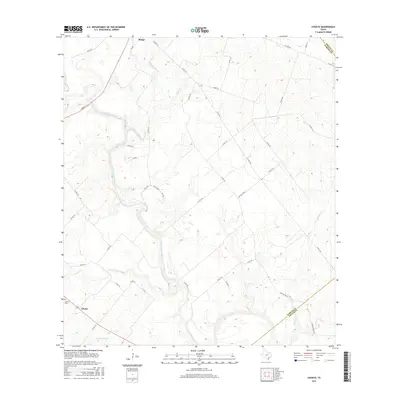
2016 Map of Choate
USGS Topo · Published 2016About this map
The San Antonio River meanders through this South Texas landscape, defining the rural character of Karnes and Goliad counties. Near the southwestern corner, the settlement of Choate serves as a local focal point, anchored by the Choate Cem. The topography is shaped by a network of drainage systems including Ojo de Agua Cr, Hondo Cr, and Chicken Creek, which feed into the primary river valley.
Find a feature on this map
41 named features on this map. Tap any name to fly to it.
Don’t see what you’re looking for? This feature index may not catch every label — zoom into the map to look around manually.
Map Details
Editions of this 2016 Choate Map
This is the sole edition of this map. No revisions or reprints were ever made.
Other maps of this area
1936 · Pettus
USGS Topo · 1:62,500

1953 · Beeville
USGS Topo · 1:250,000

1956 · Beeville
USGS Topo · 1:250,000
1956 · Pettus
USGS Topo · 1:62,500
1956 · Karnes City
USGS Topo · 1:62,500

1960 · Beeville
USGS Topo · 1:250,000
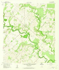
1960 · Helena
USGS Topo · 1:24,000
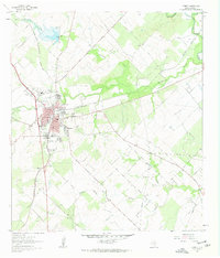
1961 · Kenedy
USGS Topo · 1:24,000
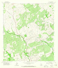
1963 · Tulsita
USGS Topo · 1:24,000
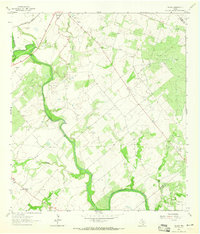
1963 · Choate
USGS Topo · 1:24,000