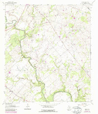
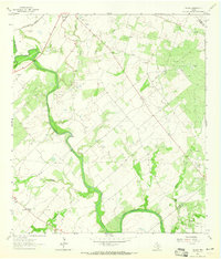
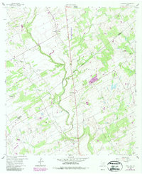
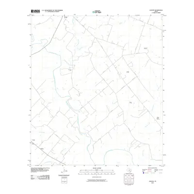
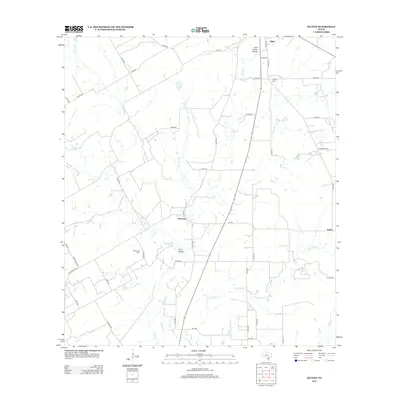
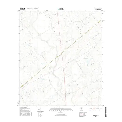
1963 Map of Choate
USGS Topo · Published 1987About this map
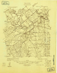
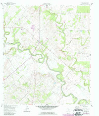
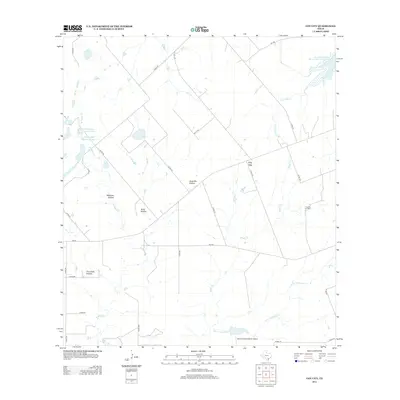
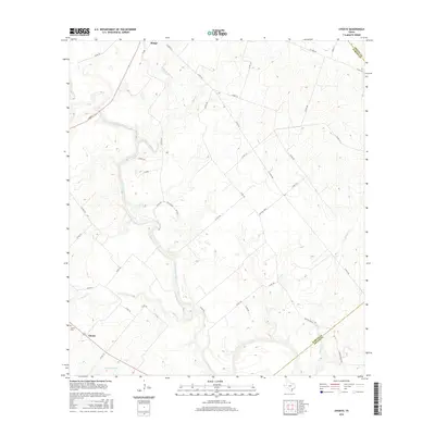
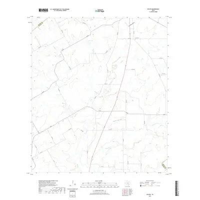
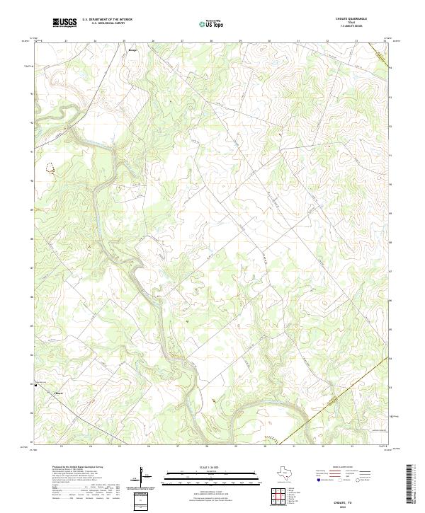
The San Antonio River meanders across this South Texas landscape, defining a region where early ranching roots met the mid-century energy boom. Near the settlement of Choate, the Choate Cem serves as a focal point for genealogical research in this rural corridor of Karnes County. The terrain is marked by a significant industrial footprint, including the Cabeza Creek Refinery and several extensive petroleum operations such as the Porter Oil Field and the Runge Oil Field. Numerous waterways, including Agua de Ojo Creek and Hondo Creek, feed into the river basin, while the presence of a Radio Tower and Substation indicate the modern infrastructure supporting the surrounding oil fields. Photogrammetric revisions from the early 1980s highlight changing woodland patterns against the established network of county roads and gravel pits.
Find a feature on this map
21 named features on this map. Tap any name to fly to it.
Don’t see what you’re looking for? This feature index may not catch every label — zoom into the map to look around manually.
Map Details
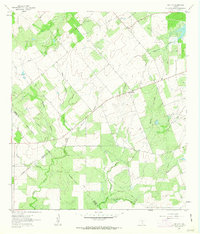
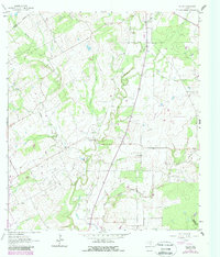
Editions of this 1963 Choate Map
2 editions found
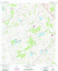
Historical Maps of Runge Through Time
37 maps found
1925 Tordia No. 1
Karnes County, TX
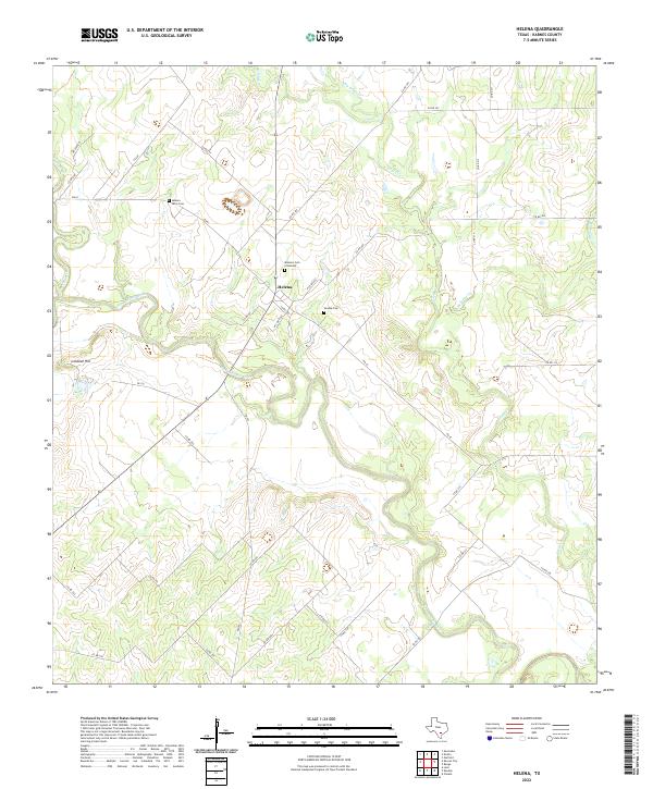
1960 Helena
Karnes County, TX
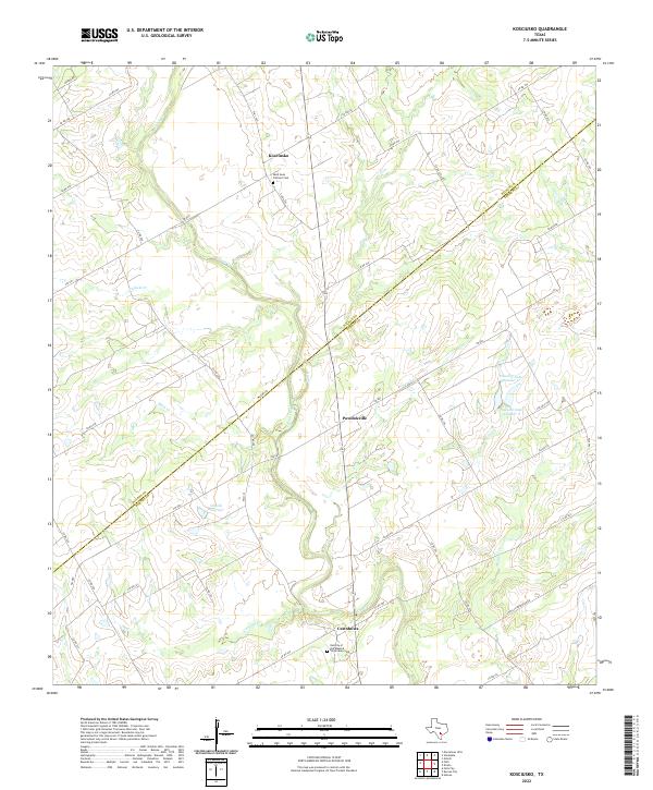
1960 Kosciusko
Karnes County, TX
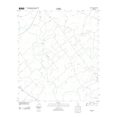
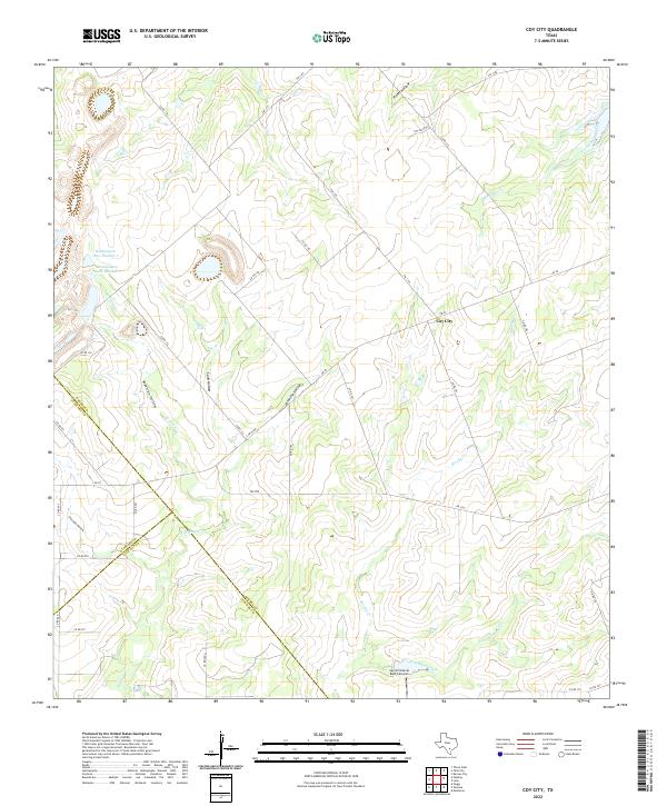
1961 Coy City
Karnes County, TX
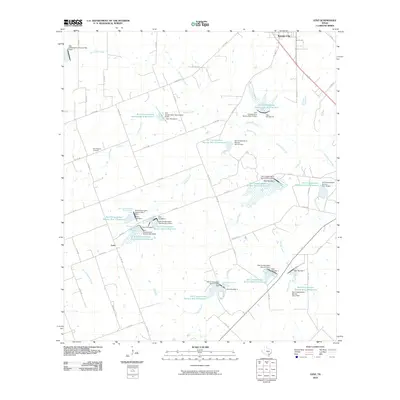
1961 Ecleto
Karnes County, TX
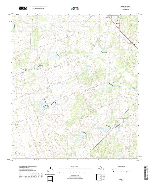
1961 Lenz
Karnes County, TX
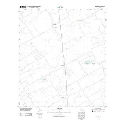
1963 Choate
Karnes County, TX
2010 Choate
Karnes County, TX
2010 Coy City
Karnes County, TX
2010 Ecleto
Karnes County, TX
2010 Helena
Karnes County, TX
2010 Kosciusko
Karnes County, TX
2010 Lenz
Karnes County, TX
2013 Choate
Karnes County, TX
2013 Coy City
Karnes County, TX
2013 Ecleto
Karnes County, TX
2013 Helena
Karnes County, TX
2013 Kosciusko
Karnes County, TX
2013 Lenz
Karnes County, TX
2016 Choate
Karnes County, TX
2016 Coy City
Karnes County, TX
2016 Ecleto
Karnes County, TX
2016 Helena
Karnes County, TX
2016 Kosciusko
Karnes County, TX
2016 Lenz
Karnes County, TX
2019 Choate
Karnes County, TX
2019 Coy City
Karnes County, TX
2019 Ecleto
Karnes County, TX
2019 Helena
Karnes County, TX
2019 Kosciusko
Karnes County, TX
2019 Lenz
Karnes County, TX
2022 Choate
Karnes County, TX
2022 Coy City
Karnes County, TX

2022 Ecleto
Karnes County, TX
2022 Helena
Karnes County, TX
2022 Kosciusko
Karnes County, TX
2022 Lenz
Karnes County, TX