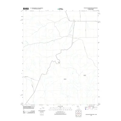
2012 Map of Chocolate Mountain
USGS Topo · Published 2012About this map
Oasis serves as a central point in this high-desert landscape, where ranching infrastructure meets the rising elevations of Chocolate Mountain. The area is defined by a sparse but vital road network including Eureka Valley Rd and Oasis Rd, which navigate the terrain between significant peaks like Sugarloaf Mountain and the high passage at Gilbert Pass. Water sources, though infrequent in this arid environment, are marked by Cottonwood Cr and Wyman Creek, alongside the isolated Tule Spring. Historical interest is anchored by White Mountain City, located along the route of Wyman Creek Rd. This survey documents the intersection of modern rural access roads with long-established landmarks, showing how the limited water supply and steep topography continue to dictate the placement of settlements and transit corridors in this remote portion of Mono County.
Find a feature on this map
15 named features on this map. Tap any name to fly to it.
Don’t see what you’re looking for? This feature index may not catch every label — zoom into the map to look around manually.
Map Details
Editions of this 2012 Chocolate Mountain Map
This is the sole edition of this map. No revisions or reprints were ever made.
Other maps of this area

1898 · Silver Peak
USGS Topo · 1:125,000

1900 · Silver Peak
USGS Topo · 1:125,000

1908 · Lida
USGS Topo · 1:250,000

1913 · Bishop
USGS Topo · 1:125,000

1913 · Lida
USGS Topo · 1:250,000

1917 · White Mountain
USGS Topo · 1:125,000

1947 · Mariposa
USGS Topo · 1:250,000

1948 · Mariposa
USGS Topo · 1:250,000

1951 · Blanco Mountain
USGS Topo · 1:62,500

1954 · Goldfield
USGS Topo · 1:250,000